Sustainable and efficient research support
admin | May 4th, 2023 | Stories
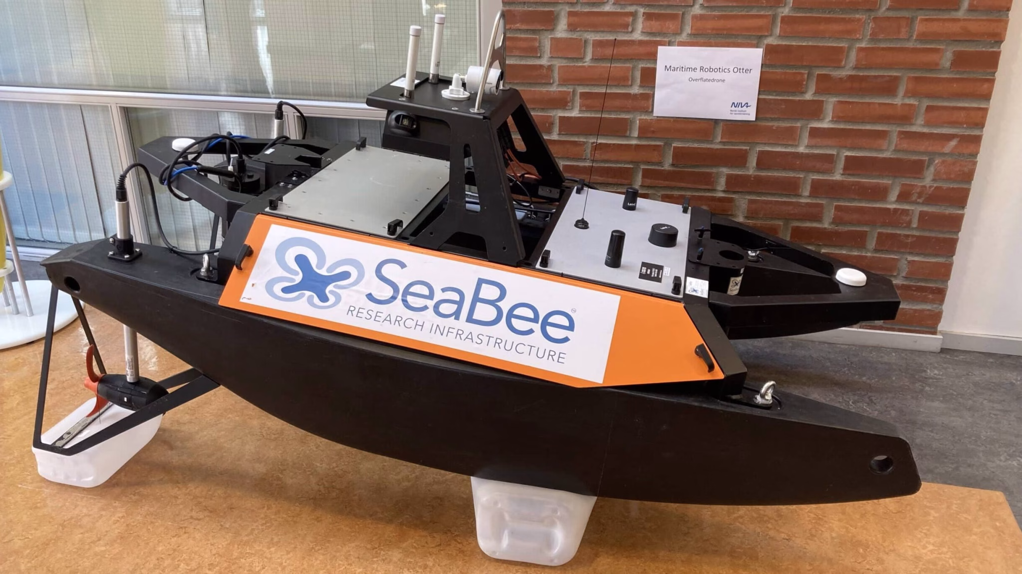
SeaBee at NIVA Sør´s 40th jubilee
NIVA Sør celebrated recently its 40th jubilee. Several SeaBee experts attended, and among them Øyvind Tangen Ødegaard, a senior engineer at NIVA, and one of SeaBee’s skilled drone pilots/technicians.
Øyvind presented SeaBee, highlighting how drones provide sustainable and efficient support for coastal research in Norway. Drones can be equipped with sensors that collect images and multiple types of data. Data collection using drones is a key part of the SeaBee drone-based research infrastructure.

Drone advantages
Drones offer several advantages over traditional field data collection methods, such as:
- The ability to collect data in real, or almost real-time
- Being cost-effective to use, and having less impact on the environment
- Covering a larger area and reaching more difficult-to-access field sites
- Allowing communities to collect data in a cost-effective and accessible way that supports citizen science
‘Drones can be particularly useful for regional monitoring and research, as they offer a sustainable and efficient way to collect data over large areas of coastline’ – Øyvind Tangen Ødegaard.
Traditional methods still valid
However, data collected by drones still needs the original context of what was happening in the field at the time. Context allows the data to be analysed and used in the best possible way, and helps with quality assurance. Therefore, there is still a need for traditional field methods.
It takes time to integrate drone sensors, and to automate collecting and processing data. Integration and automation are guided by traditionally collected data. The machine learning algorithms used for automating data processes are often trained and quality controlled using data collected with traditional methods (see Drone Data Product Validation for details on how this is done in SeaBee).

By using drones, scientists working with coastal management can reduce costs, limit environmental impact, and enhance research efforts.
For more information about SeaBee drones: SeaBee Tech