Using UAVs to map surging glaciers in Svalbard (Student Research Report)
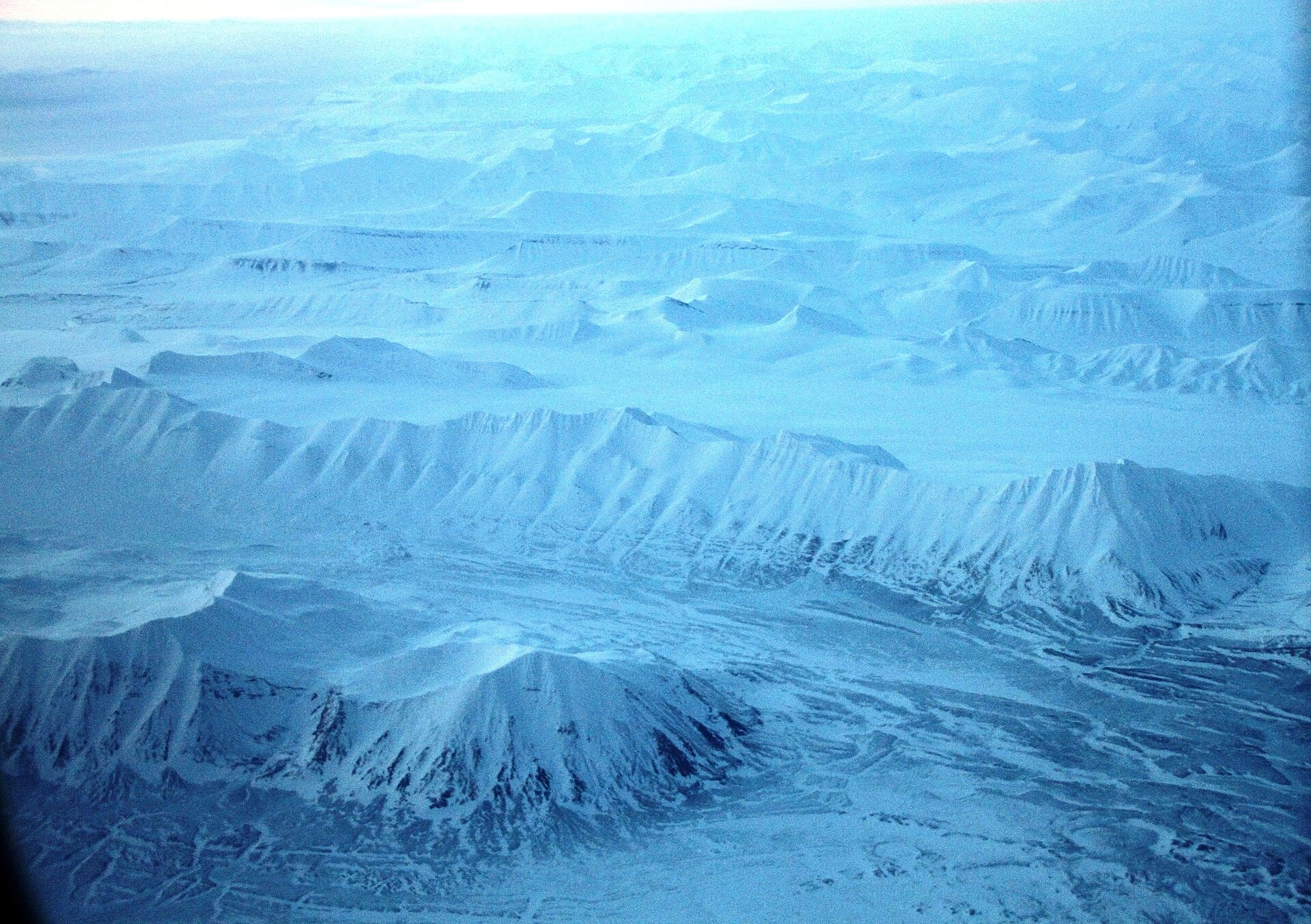
Kaelan Lockhart’s 2025 student research report, completed during a research stay at NTNU, presents a UAV-based study of surging glaciers in Svalbard. The project involved aerial surveys of Vallåkrabreen, Fridtjovbreen, and the Paulabreen–Scheelebreen system using a DJI Mavic 3E drone, with the goal of producing high-resolution digital elevation models (DEMs) and orthomosaics to support long-term glaciological monitoring. The report details the survey methods, data processing workflows, and key outputs, including point cloud densities and DEM resolutions for each glacier. It also outlines a planned publication focused on crevasse morphology and its influence on glacier-atmosphere interactions, proposing a scalable “crevasse index” for future satellite-based studies.