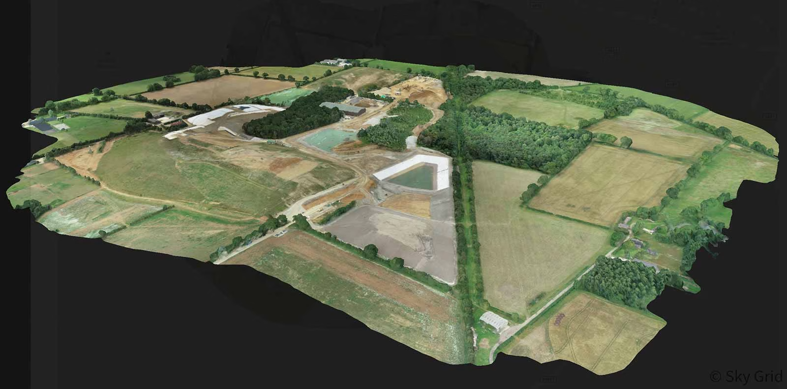
Pix4D image analysis software ...
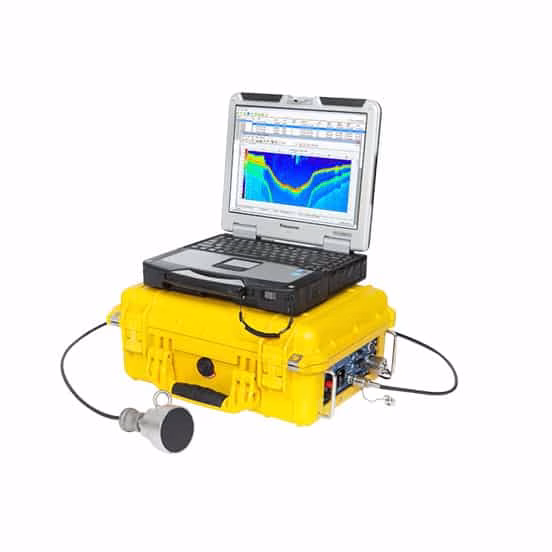
Our complete Aquatic Habitat Echosounder System lets you simultaneously acquire submerged aquatic vegetation, substrate, and bathymetry data using ...
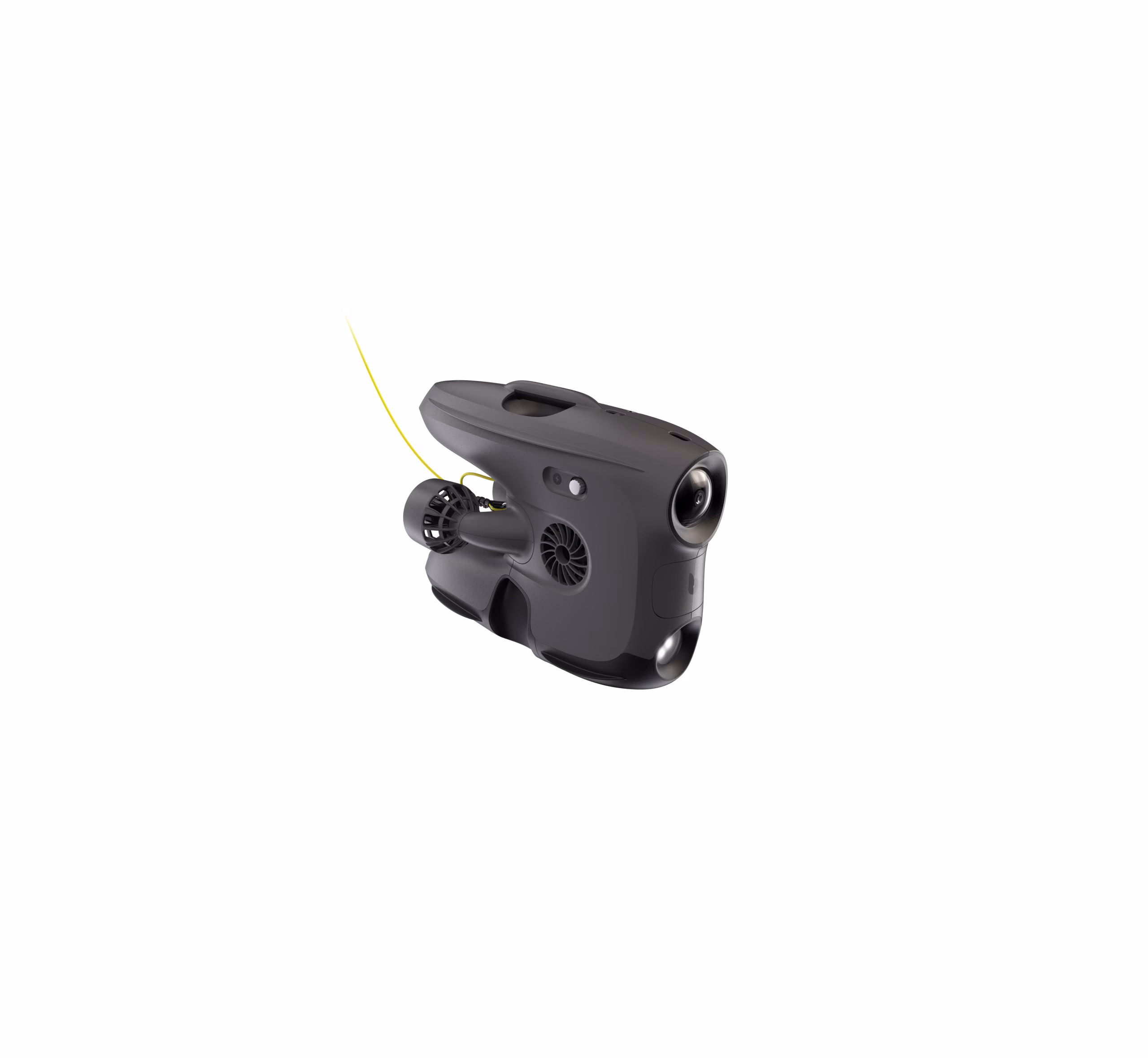
Blueye drone - Det ultimate verktøyet for profesjonelle. Rask og brukervennlig inspeksjon av dine eiendeler under vann ...
Blueye drone - Det ultimate verktøyet for profesjonelle. Rask og brukervennlig inspeksjon av dine eiendeler under vann ...
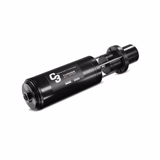
The C3™ Submersible Fluorometer can be configured with one, two or three optical sensors ranging from deep ultraviolet ...
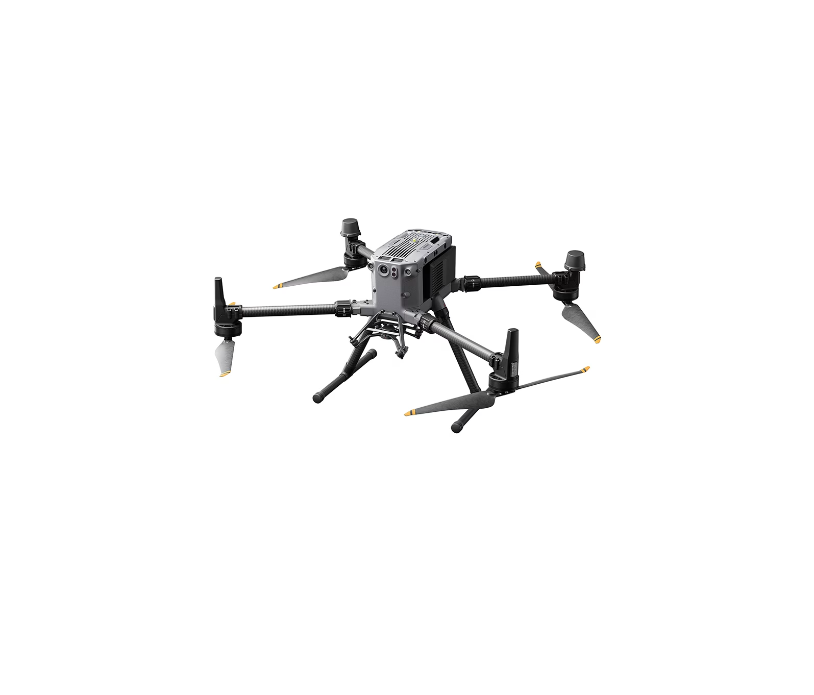
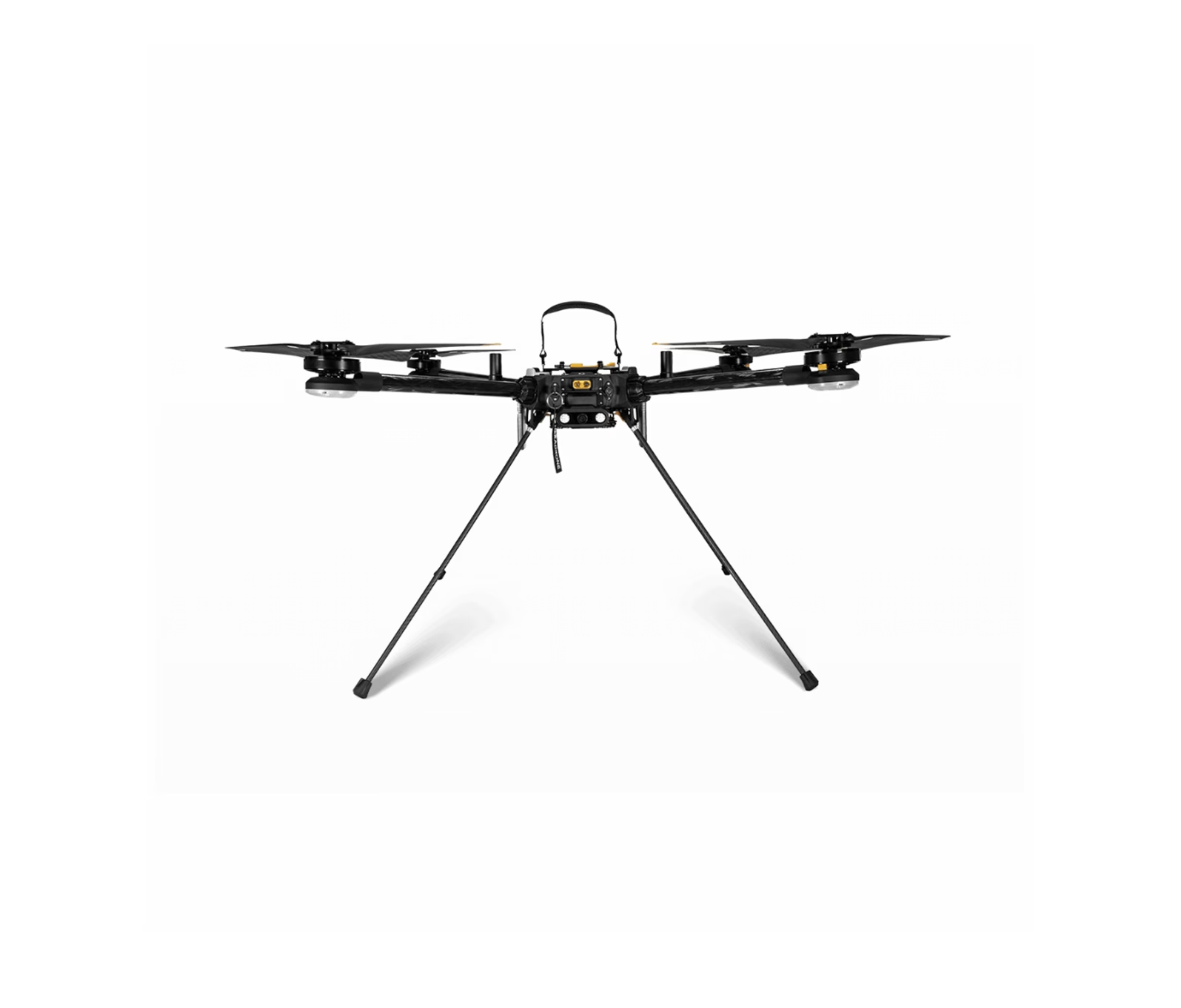
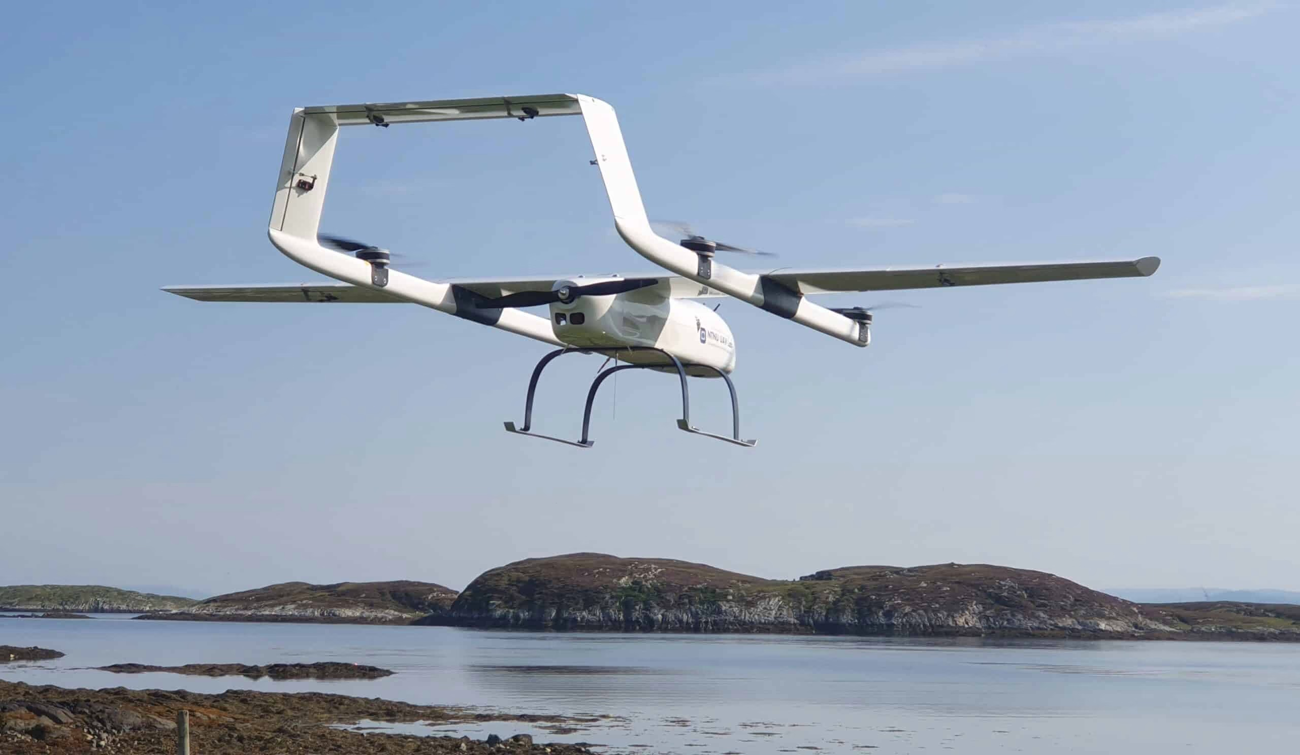
A fully autonomous, commercial grade, Vertical Takeoff and Landing drone with smart technology ...
Our new DJI M300 is an updated version of our current workhorse, the DJI M210V2. This unit will ...
The DJI Matrice 200 series is a fantastic tool for the industry, making advanced work tasks playfully easy ...
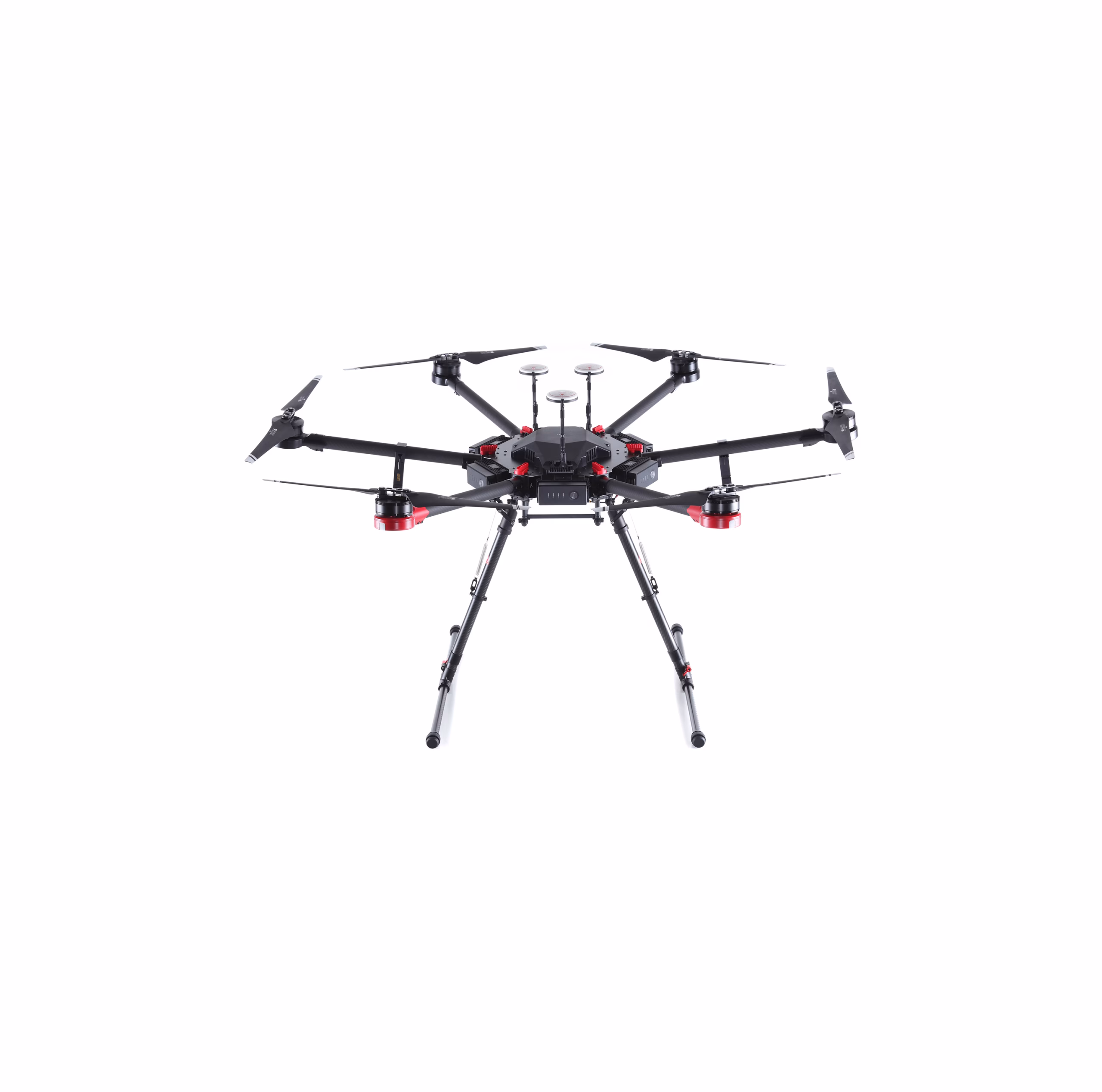
M600 Pro ideal for professional aerial photography and industrial applications ...
Our new DJI M300 is an updated version of our current workhorse, the DJI M210V2. This unit will ...
Our new DJI M300 is an updated version of our current workhorse, the DJI M210V2. This unit will ...
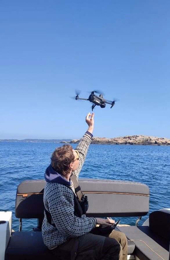
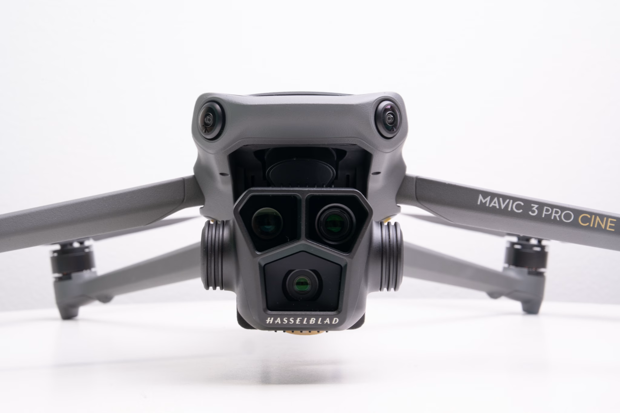
DJI Mavic 2, a packed camera drone with all the features you could want in a practical and ...
DJI Mavic 2, a packed camera drone with all the features you could want in a practical and ...
DJI Mavic 2, a packed camera drone with all the features you could want in a practical and ...
The compact yet powerful Mavic Mini is the perfect creative companion, capturing your moments in a way that ...
Pix4D image analysis software ...
FIFISH V6 EXPERT delivers a portable, robust, and worry-free underwater operational experience for the user ...
A fully autonomous, commercial grade, Vertical Takeoff and Landing drone with smart technology ...
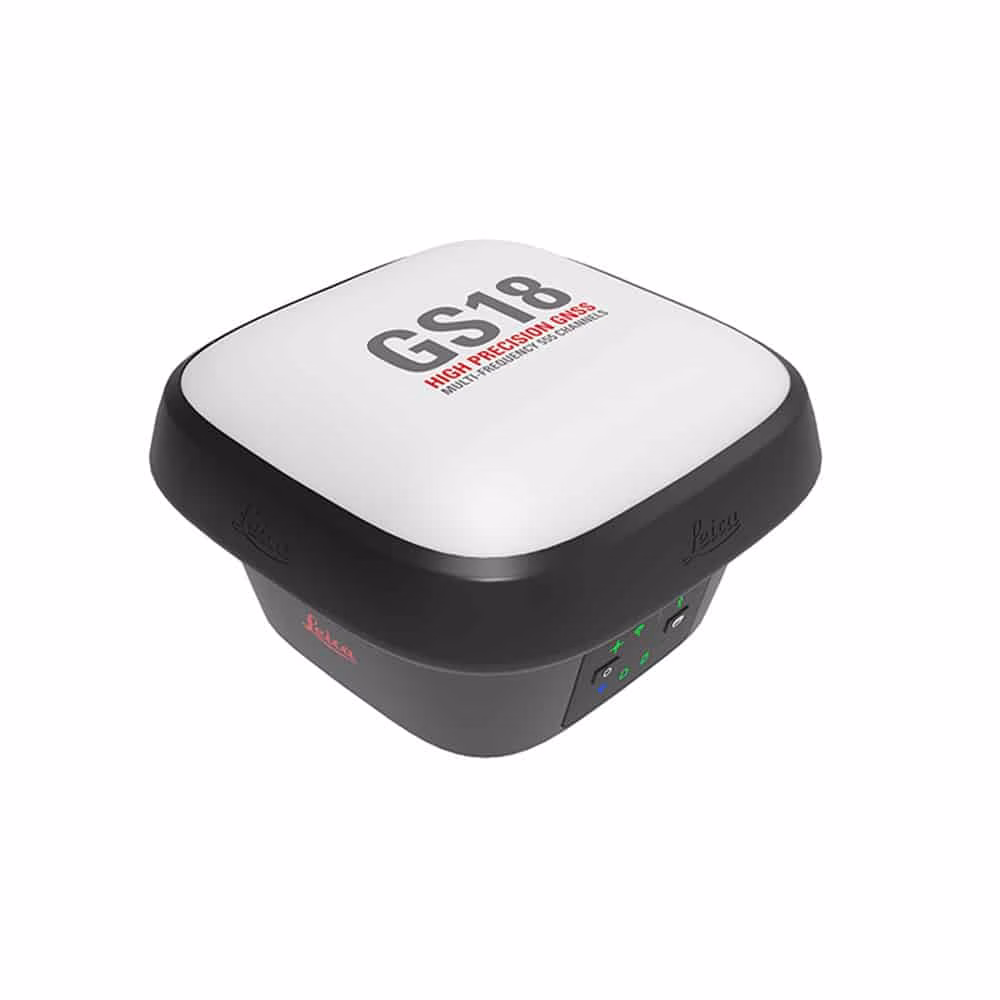
Leica GS18 T. Is a GnSS positioning antennae that will achieve cm precision coordinates ...
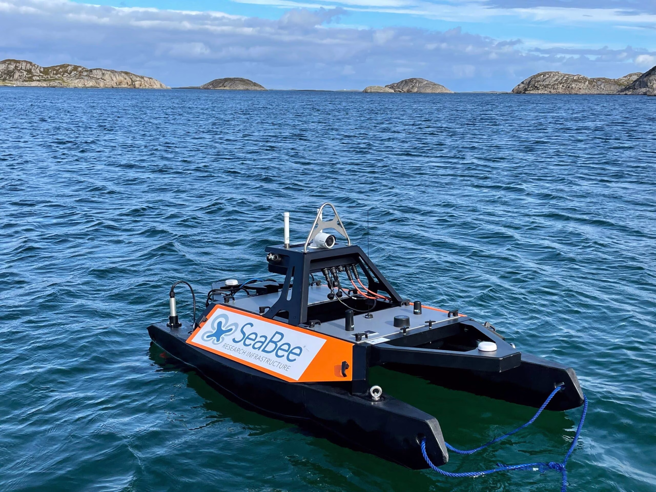
The Otter is controlled via a graphical user interface: Maritime Robotics' vehicle control station (VCS) or a mobile ...
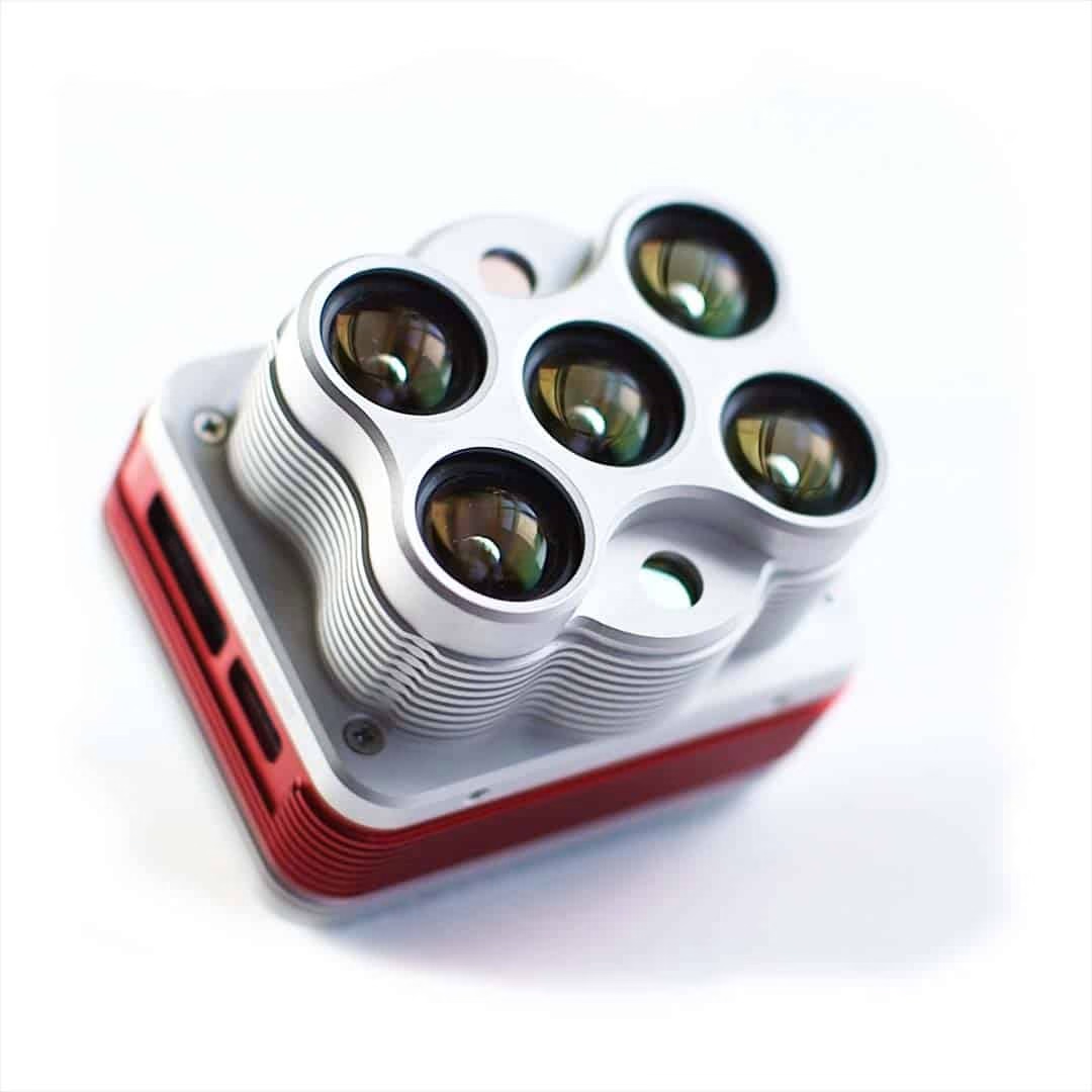
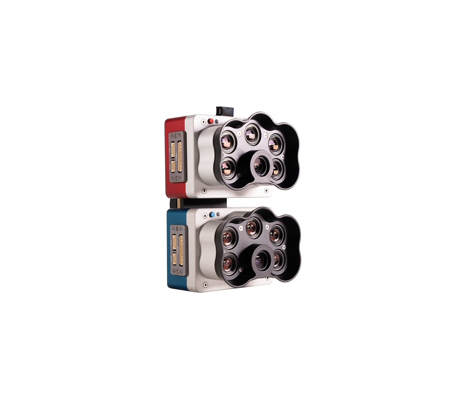
The MicaSense Altum 5band Multispectral camera is a compact multispectral camera with good resolution and thermal ability. SeaBee ...
The MicaSense Altum 5band Multispectral camera is a compact multispectral camera with good resolution and thermal ability. SeaBee ...
A fully autonomous, commercial grade, Vertical Takeoff and Landing drone with smart technology ...
A command line toolkit to process aerial images. Since it’s creation in 2014, it has become the de-facto ...
Pix4D image analysis software ...
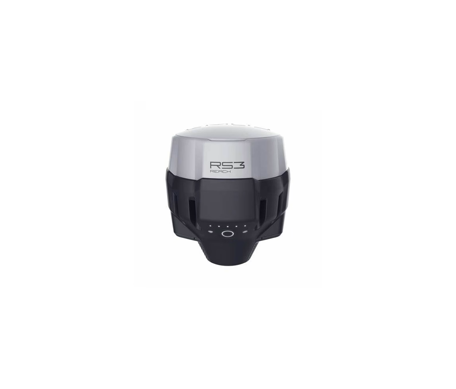
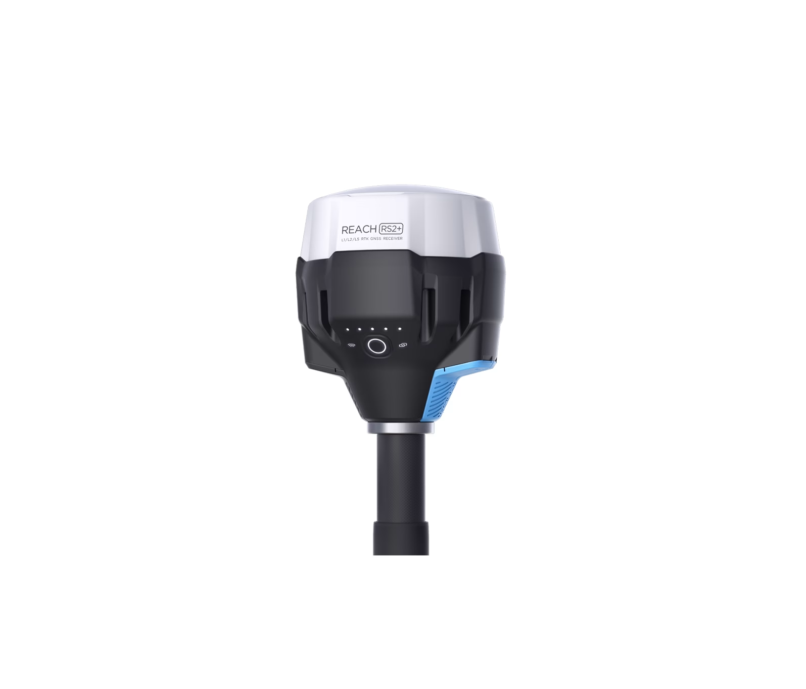
The Reach RS2 GnSS base station ensures accurate mapping, enabling for around 3-to-5-centimetre absolute positioning accuracy between ground ...
Leica GS18 T. Is a GnSS positioning antennae that will achieve cm precision coordinates ...
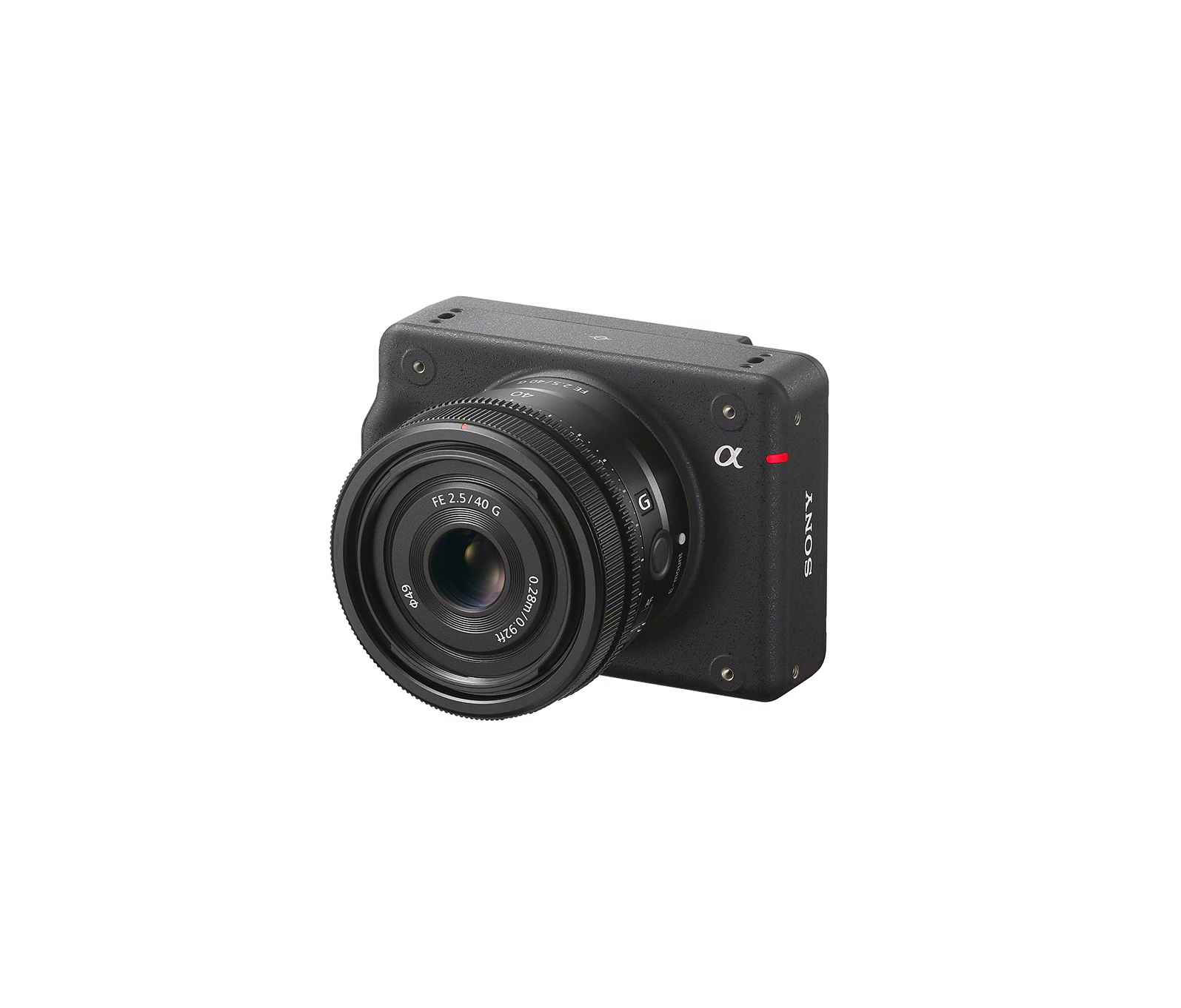
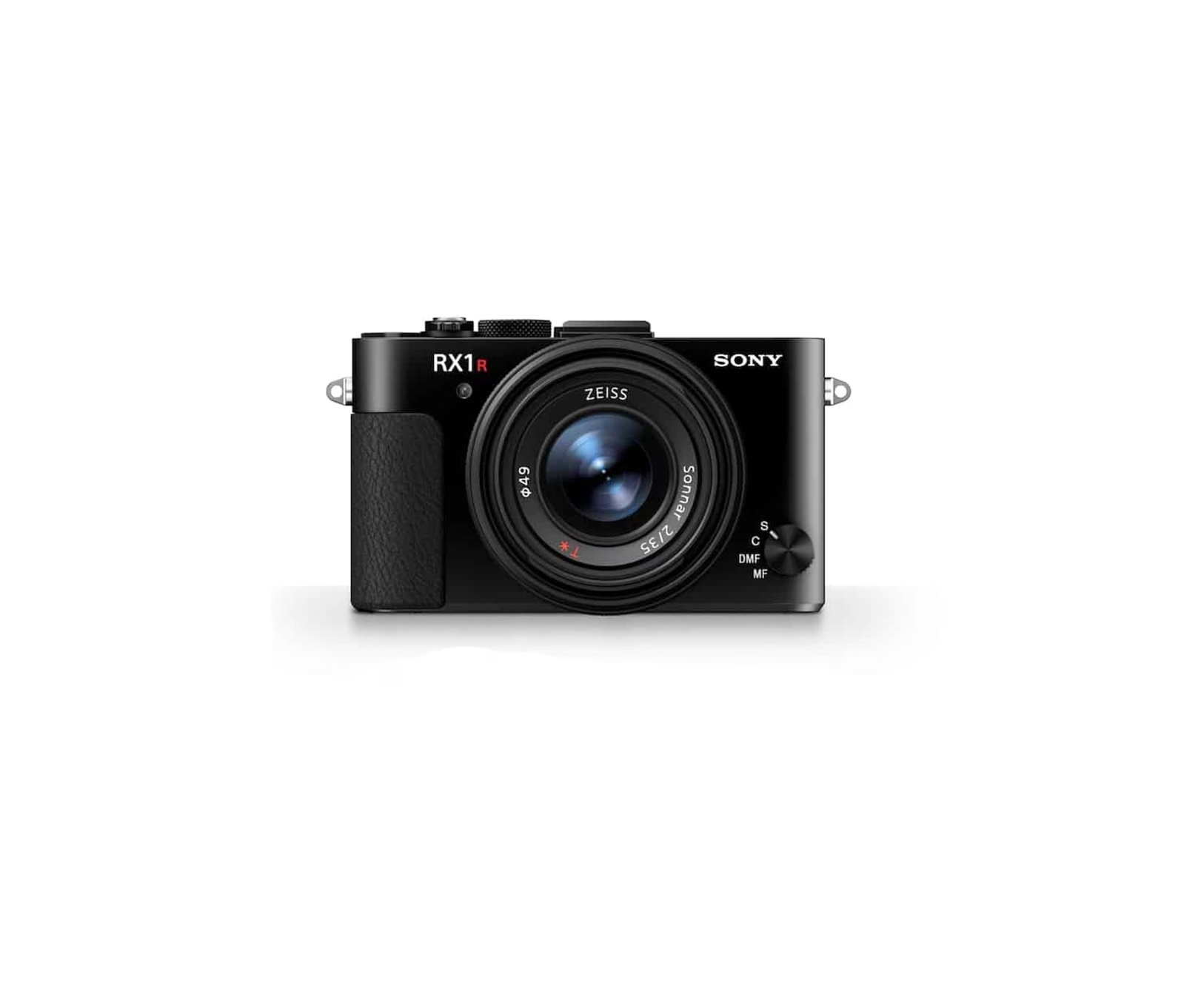
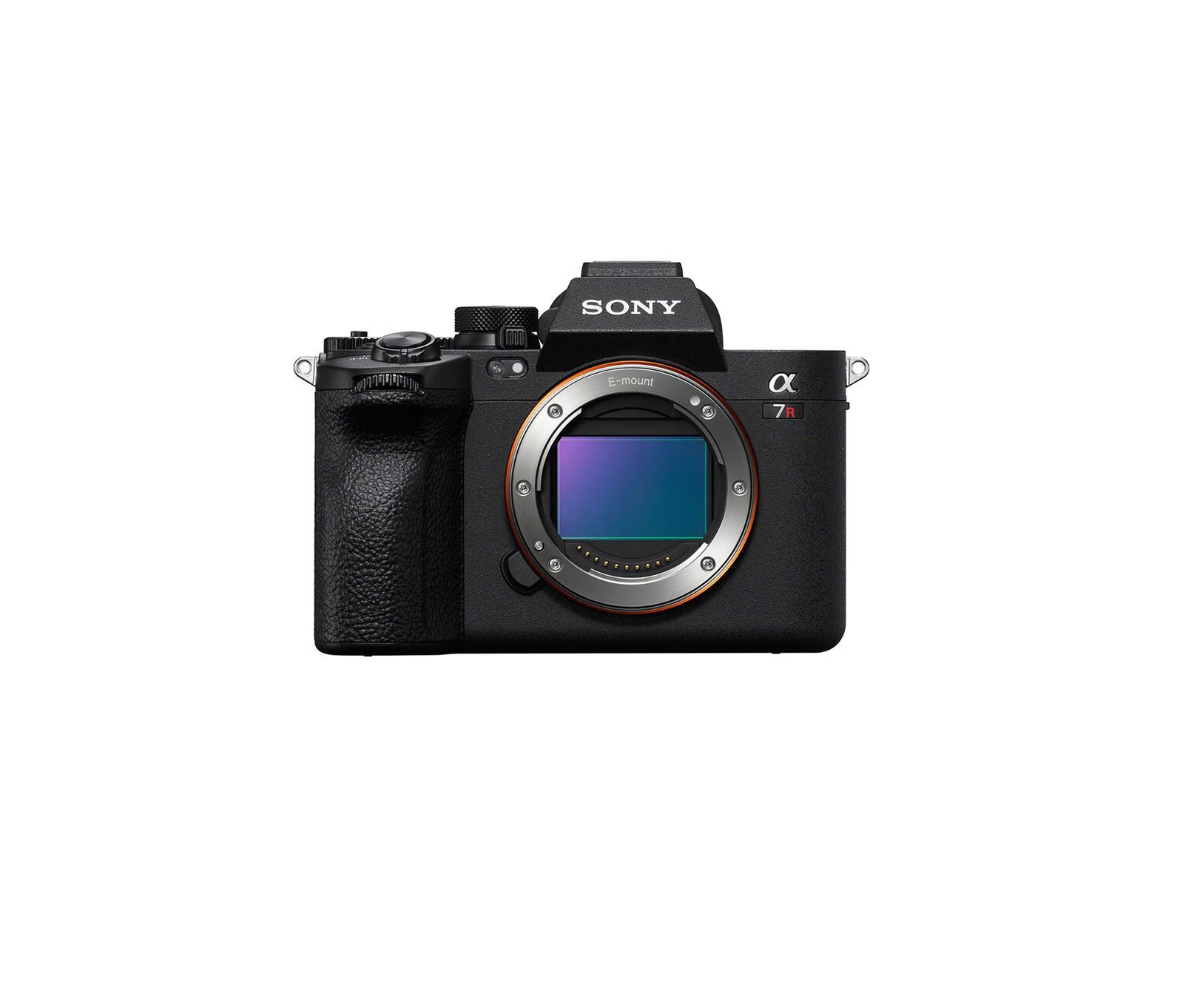
The SONY RX1RM2 42MP is camera with a global shutter, providing very high-quality photographs ...
The SONY RX1RM2 42MP is camera with a global shutter, providing very high-quality photographs ...
The SONY RX1RM2 42MP is camera with a global shutter, providing very high-quality photographs ...
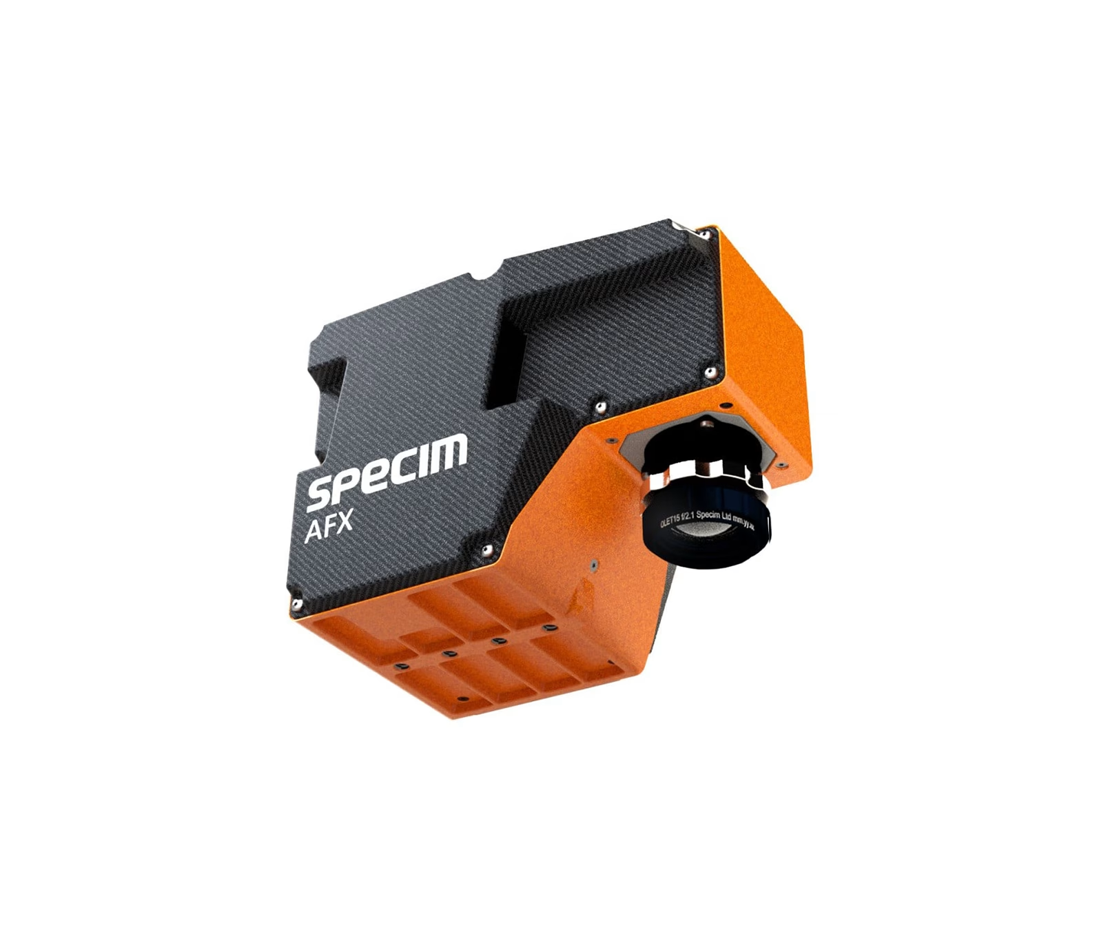
Specim AFX10 is a VNIR hyperspectral imaging solution with an HSI camera, a small and powerful computer and ...
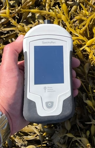
SpectraPen LM 510 is a handheld portable spectroradiometer that is ideal as a general-purpose instrument for research and ...
VIPER measures hyperspectral attenuation and transmission coefficients in the wavelength range of 360 nm and 750 nm, enabling ...
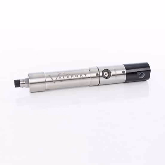
The miniCT is Valeport’s real time Conductivity and Temperature sensor. It features high accuracy robust sensor. Suitable for ...
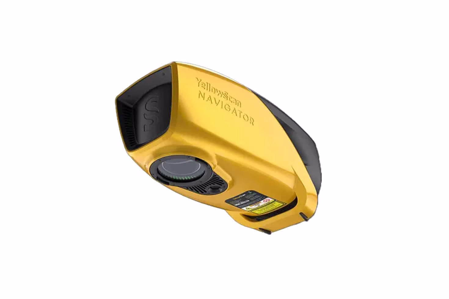
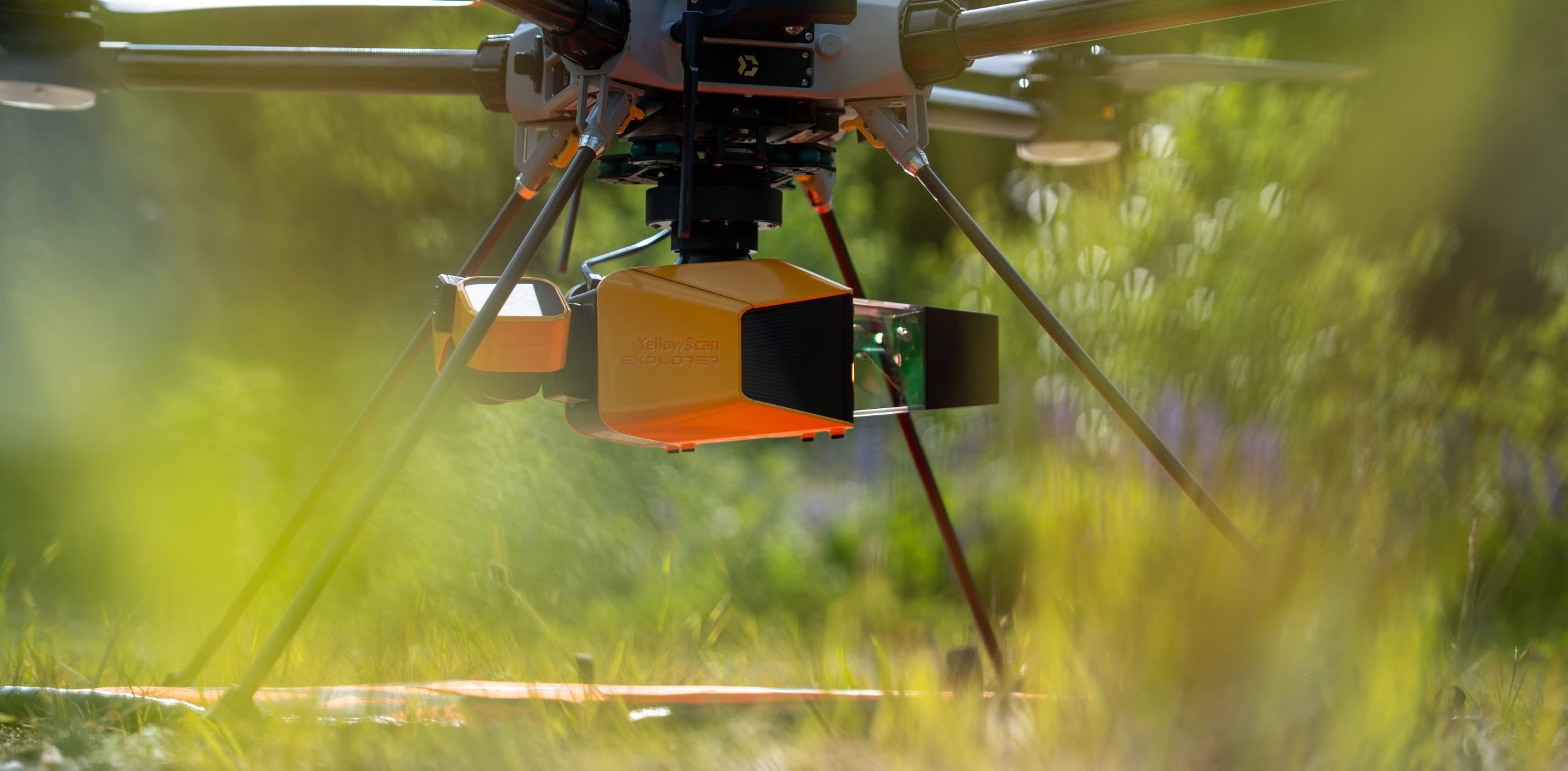
The YellowScan bathymetric LiDAR is an innovative solution for exploring underwater and ground topography with a single-button operation ...
A fully autonomous, commercial grade, Vertical Takeoff and Landing drone with smart technology ...