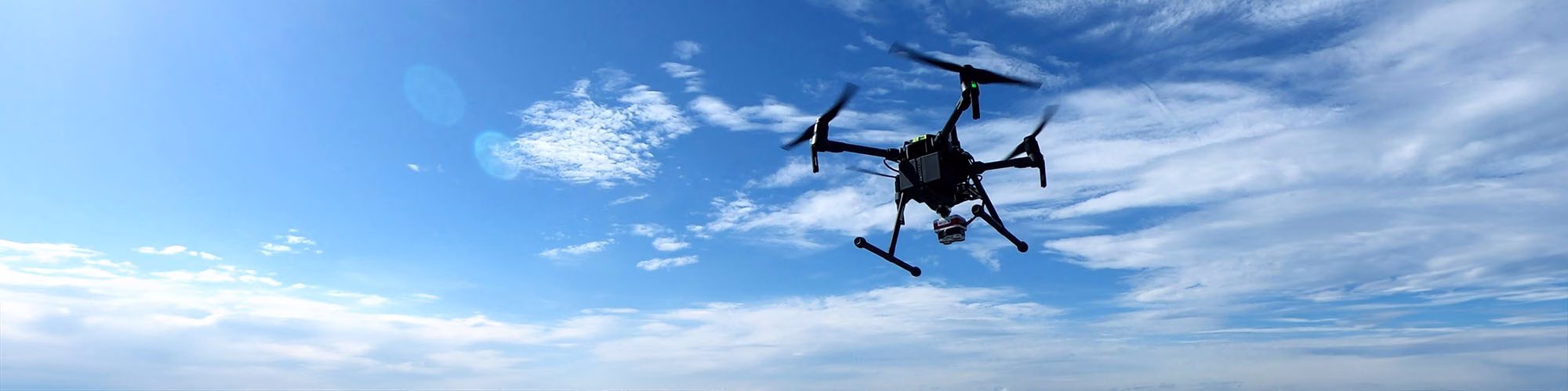
SeaBee Library
Your gateway to knowledge and insights from our cutting-edge drone-based research.
Welcome to Our Library
Here, you’ll find a rich collection of videos, storymaps, presentations, and more, showcasing our outreach activities and research efforts. This library is designed to make exploring our work easy, giving you a deeper understanding of how we’re advancing the sustainable management of Norway’s coastal environments. Dive in and discover how we bring science to life!
Visit our Scientific Papers List for a comprehensive collection of research papers and studies focusing on drone-based innovation and coastal management.

SeaBee’s Drone and Sensor Infrastructure Report
The report is an extensive overview of the three primary drone categories employed by SeaBee: aerial, ...
Overview of the SeaBee Data Platform Report
The report discusses how the SeaBee data platform provides researchers with powerful automated processing workflows capable ...
SeaBee Impact Report
The report highlights SeaBee's role in establishing a national center for drone-based services, significantly enhancing the ...
Using UAVs to map surging glaciers in Svalbard (Student Research Report)
Kaelan Lockhart’s 2025 student research report, completed during a research stay at NTNU, presents a UAV-based ...
Drone data collection protocol using DJI Mavic 3E/3M RTK – Seabird mapping with SeaBee
The document "Drone data collection protocol using DJI Mavic 3E/3M RTK – Seabird mapping with SeaBee" ...
Drone and ground-truth data collection, image annotation and machine learning: A protocol for coastal habitat mapping and classification
Aerial drone imaging is an efficient tool for mapping and monitoring of coastal habitats at high ...
Monitoring macroplastics in aquatic and terrestrial ecosystems: Expert survey reveals visual and drone-based census as most effective techniques
Monitoring macroplastics in aquatic and terrestrial ecosystems: Expert survey reveals visual and drone-based census as most ...
Automated monitoring of the early life stages of fish (Phd Thesis)
This thesis presents an automated imaging system developed to improve the monitoring of early life stages ...
Method development for mapping kelp using drones and satellite images: Results from the KELPMAP-Vega project
Method development for mapping kelp using drones and satellite images: Results from the KELPMAP-Vega project ...
An investigation into multimodal UAV imaging for ocean color and benthic mapping (MSc thesis)
Saatvedt OKO. 2024. An investigation into multimodal UAV imaging for ocean color and benthic mapping (MSc ...
Innovative and practical tools for monitoring and assessing biodiversity status and impacts of multiple human pressures in marine systems
Innovative and practical tools for monitoring and assessing biodiversity status and impacts of multiple human pressures ...
Seagrass Health Monitoring Using USV & UAV Data with Machine Learning (MSc thesis)
Sætre SH. 2024. Seagrass Health Monitoring Using USV & UAV Data with Machine Learning (MSc thesis) ...
Density classification of marine seagrass (Zostera marina) for blue carbon estimation using drones and Convolution Neural Networks (MSc Thesis)
Borger C. 2024. Density classification of marine seagrass (Zostera marina) for blue carbon estimation using drones ...
Navigating SeaBee datasets
There are many datasets available on the SeaBee Geovisualization. Here you can see how to search, ...
EuropaBON EBV workflow templates
The EuropaBON EBV Workflow Templates document presents a collection of standardized templates developed during a 2023 ...
SeaBee annual report 2023-2024
This report represents a simplified version of the more elaborate report delivered in the Research Council's ...
Coast habitat mapping storymap
Using flying drones and machine learning to map main coastal habitat types ...
Optical techniques for hyperspectral imaging of the seafloor (PhD Thesis)
This thesis develops optical techniques for hyperspectral seafloor mapping, focusing on geometric and radiometric processing. It ...
Mapping and monitoring seagrass
Footage from DJI Mavic Mini drone during Zosmap field mission (sub-project of SeaBee), June 2023. For ...
Larvik panorama
A beautiful Panorama image of Larvik ...
SeaBee’s geovisualisation website: an interactive map application for exploring SeaBee missions and data (Software)
The Geovisualisation feature on the SeaBee GeoNode platform is an interactive mapping tool designed to visualize ...
SeaBee’s GeoNode data portal: a website for exploring and visualising SeaBee data products (Software)
The SeaBee GeoNode platform, serves as a comprehensive geospatial data portal for the SeaBee project, which ...
Self-organizing maps for fusion of spectral images (MSc Thesis)
Self-organizing maps for fusion of spectral images (MSc thesis). Department of Information Technology and Electrical Engineering, ...
In situ biomass estimation of cultivated kelp using RGB imagery (MSc Thesis)
Overrein M M. 2023. In situ biomass estimation of cultivated kelp using RGB imagery (MSc thesis) ...
Drone data product validation
Drone data product validation collects data on the ground using traditional benchmark methods that validate drone ...
SeaBee: The complete package
An overview of what SeaBee Research Infrastructure has to offer as a complete package for coastal ...
SeaBee drone infrastructure specification & establishment
Led by Anders from NIVA - Norsk institutt for vannforskning , this work specifies user requirements, ...
Establishing operational nodes & drone operations for SeaBee
Tor Arne from Norges teknisk-naturvitenskapelige universitet (NTNU) shares what is most interesting about SeaBee work to ...
Drone flight footage – DJI drone
Footage recorded by a drone of a DJI matrice drone in the field. The DJI matrice ...
Data analysis, the core of the SeaBee product generator.
Arnt-Børre Salberg from Norges Regnesentral is leading the work in SeaBee that focuses on data analysis ...
Birds eye view
Drone footage collected by NIVA using SeaBee drones and sensors from 2022 in the Vega archipelago, ...
Views over Vega
Drone footage collected by NIVA using SeaBee drones and sensors from 2022 in the Vega archipelago, ...
Data storage and sharing
We design, establish and implement cloud-based data storage solutions and cutting-edge web-based data sharing applications running ...
Views over Vega 2
Drone footage collected by NIVA using SeaBee drones and sensors from 2022 in the Vega archipelago, ...
Bird cliffs at Runde
Drone footage of bird cliffs at Runde, during the SeaBee field campaign in August-September 2022 ...
Two seals swimming
Drone footage of two seals in kelp area at Runde, during the SeaBee field campaign in ...
Going underwater
Drone footage of seaweed and kelp beds from the field campaign at Runde in August-September 2022 ...
Quantifying seaweed and seagrass beach deposits
Yalei Li, Hege Gundersen, Robert Nøddebo Poulsen, Lina Xie, Zhenming Ge, Kasper Hancke, Quantifying seaweed and ...
Coregistration of Hyperspectral Imagery With Photogrammetry for Shallow-Water Mapping
This article presents a method for coregistering hyperspectral imagery with photogrammetry to map shallow-water environments using ...
Seabeepy: a Python package to support SeaBee workflows (Software)
A collection of useful Python functions for common SeaBee workflows. A bit of a random mixture ...
Monitoring algal blooms with complementary sensors
Williamson, D.R., G.M. Fragoso, S. Majaneva, A. Dallolio, D.Ø. Halvorsen, O. Hasler, A.E. Oudijk, D.D. Langer, ...
Mapping kelp forests using multi-spectral drone images and convolution neural networks
Mapping kelp forests using multi-spectral drone images and convolution neural networks Contributors: Arnt Børre Salberg Izzie ...
The SeaBee GitHub Organisation: code infrastructure for the SeaBee project (Software)
The SeaBee-no GitHub organization serves as the central repository for the SeaBee project. It encompasses a ...
Metodeutvikling for kartlegging
Gundersen H, Hancke K, Poulsen RN, Buls T, Ghareeb M, Christie H, Kile MR, Arvidsson KS, ...
Use of different imaging systems for ROV-based mapping of complex benthic habitats (MSc thesis)
Nevstad MB. 2022. Use of different imaging systems for ROV-based mapping of complex benthic habitats (MSc ...
Interactive hyperspectral data inspection during field operations
This report addresses the challenge of efficiently processing and interpreting hyperspectral data cubes collected during field ...
Study on responses of carbon flux in the salt marsh vegetation-soil system to hydrological and saline conditions in the Yangtze Estuary (PhD thesis)
Li, Yalei. 2022. Study on responses of carbon flux in the salt marsh vegetation-soil system to ...
Costal habitat mapping with UAV multi-sensor data: An experiment among DCNN-based approaches
Coastal habitat mapping with UAV multi-sensor data: an experiment among DCNN-based approaches. ISPRS Ann. Photogramm. Remote ...
Campaign for hyperspectral data validation
Oudijk AE, Hasler O, Øveraas H, Marty S, Williamson DR, Svendsen T, Berg S, Birkeland R, ...
Aerial & underwater hyperspectral imagery (MSc Thesis)
Bjerkvoll M. 2002. Aerial and underwater hyperspectral imagery for shallow benthic nature type mapping. Master’s thesis ...
Mapping of Zostera habitat in the sublittoral zone using underwater hyperspectral imaging and unmanned surface vehicle (MSc Thesis)
Søreng MO. 2022. Mapping of Zostera habitat in the sublittoral zone using underwater hyperspectral imaging and ...
Kartlegging av hettemåke i Norge i 2022 – Birdlife Norge
I 2022 gjennomførte BirdLife Norge (tidligere Norsk Ornitologisk Forening) en landsdekkende kartlegging av hekkende hettemåker, Vi ...
Counting seals using drones
Martin Biuw is a researcher at the Norwegian Institute of Marine Research. As part of his ...
Counting seals using drones
Martin Biuw is a researcher at the Norwegian Institute of Marine Research. As part of his ...
Machine Learning Algorithms for Habitat Type Prediction from Drone-Based multispectral Imagery: A Comparison of Classifiers (BSc thesis)
Simmons H. 2021. Machine learning algorithms for habitat type prediction from drone-based multispectral imagery: a comparison ...
Undersøkelser på grunt vann – med utprøving av ny teknologi
Walday M, E Rinde, GS Andersen, K Hancke, S Moy (2021) Frisk Oslofjord. Undersøkelser på grunt ...
SeaBee test flight
Animation “tour” of a 3D model of the Danmarkbukta beach zone and its surroundings, stitched together ...
SeaBee: what we do and how it works
An animation video illustrating the Seabee Infrastructure capabilities. Seabee is a Norwegian Infrastructure for Drone-based Research, ...
SeaBee presented by Kasper Hancke, Oceanus seminar series
Seabee - a Norwegian Infrastructure for Drone-based Research, Mapping and Monitoring in the Coastal Zone (www.seabee.no) ...
Introducing: SeaBee
SeaBee is an exciting new initiative to use drones to map and monitor the Norwegian coastline, ...
Detection of macroplastic on beaches using drones and object- based image analysis
Torsvik BM, Poulsen RN, van Bavel B, Gundersen H, Hancke K. 2020. Detection of macroplastic on ...
Evaluating drones and novel imaging technology for mapping and monitoring of aquatic environments (MSc thesis)
Lansbergen RA. 2019. Evaluating drones and novel imaging technology for mapping and monitoring of aquatic environments ...