article Library
article
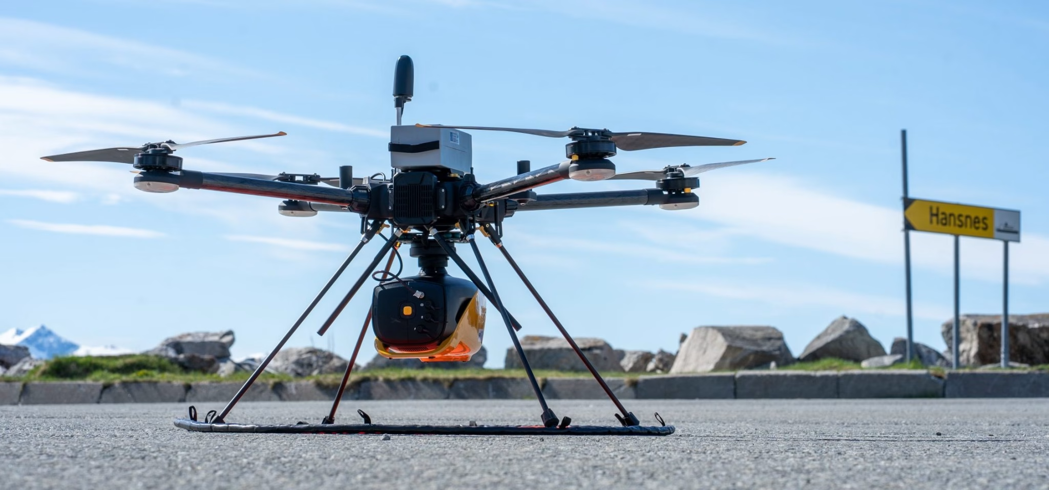
SeaBee’s Drone and Sensor Infrastructure Report
The report is an extensive overview of the three primary drone categories employed by SeaBee: aerial, surface, and underwater drones, ...
Overview of the SeaBee Data Platform Report
The report discusses how the SeaBee data platform provides researchers with powerful automated processing workflows capable of rapidly handling data ...
SeaBee Impact Report
The report highlights SeaBee's role in establishing a national center for drone-based services, significantly enhancing the precision, efficiency, and scope ...
Drone data collection protocol using DJI Mavic 3E/3M RTK – Seabird mapping with SeaBee
The document "Drone data collection protocol using DJI Mavic 3E/3M RTK – Seabird mapping with SeaBee" outlines a standardized method ...
Drone and ground-truth data collection, image annotation and machine learning: A protocol for coastal habitat mapping and classification
Aerial drone imaging is an efficient tool for mapping and monitoring of coastal habitats at high spatial and temporal resolution ...
Monitoring macroplastics in aquatic and terrestrial ecosystems: Expert survey reveals visual and drone-based census as most effective techniques
Monitoring macroplastics in aquatic and terrestrial ecosystems: Expert survey reveals visual and drone-based census as most effective techniques, Science of ...
Automated monitoring of the early life stages of fish (Phd Thesis)
This thesis presents an automated imaging system developed to improve the monitoring of early life stages in fish, which are ...
Method development for mapping kelp using drones and satellite images: Results from the KELPMAP-Vega project
Method development for mapping kelp using drones and satellite images: Results from the KELPMAP-Vega project ...
An investigation into multimodal UAV imaging for ocean color and benthic mapping (MSc thesis)
Saatvedt OKO. 2024. An investigation into multimodal UAV imaging for ocean color and benthic mapping (MSc thesis). Department of Engineering ...
Innovative and practical tools for monitoring and assessing biodiversity status and impacts of multiple human pressures in marine systems
Innovative and practical tools for monitoring and assessing biodiversity status and impacts of multiple human pressures in marine systems. Environ ...
Showing: 1- of 34
