YellowScan Navigator (Green LiDAR)
Trygve Heide | April 3rd, 2025 | Sensors
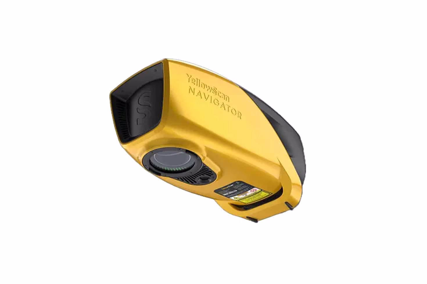
The YellowScan bathymetric LiDAR is an innovative for exploring underwater and ground topography allows for versatile platform selection without compromising water penetration. The YellowScan Bathymetric system is designed for conducting bathymetric measurements in shallow waters and is rapidly deployable on a UAV. This full waveform LiDAR system ensures continuity between underwater points and the surrounding terrain.
Find out more at: YellowScan Navigator – Bathymetric LiDAR solution for UAVs
