YellowScan Explorer Strengthens SeaBee’s LiDAR Capacity
Trygve Heide | August 25th, 2025 | Stories
YellowScan Explorer Strengthens SeaBee’s LiDAR Capacity
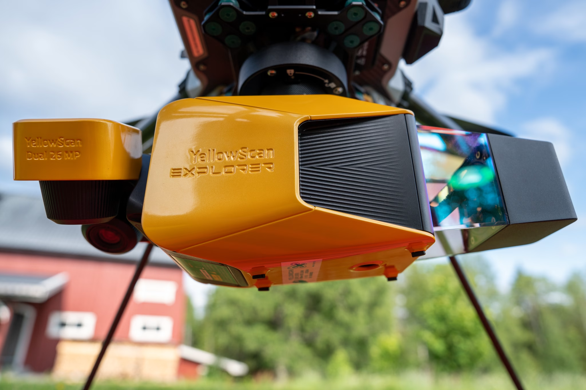
The YellowScan Explorer is an important part of SeaBee’s remote sensing toolbox. This compact and high-performance red LiDAR system is used to deliver accurate environmental mapping across both coastal and terrestrial landscapes. In combination with green LiDAR systems, the Explorer helps SeaBee provide complementary datasets that improve understanding of ecosystems where land and water meet.
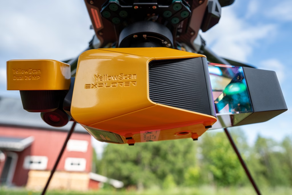
Figure 1: The YellowScan Explorer
The Power of Red LiDAR
The YellowScan Explorer uses a near-infrared laser, often referred to as red LiDAR. This wavelength is especially effective for mapping land and vegetation. It penetrates forest canopies and records multiple echoes per pulse, which makes it possible to detect the ground surface even beneath dense vegetation. The Explorer can register up to five returns from a single laser shot, providing a detailed three-dimensional view of terrain and habitat structure.
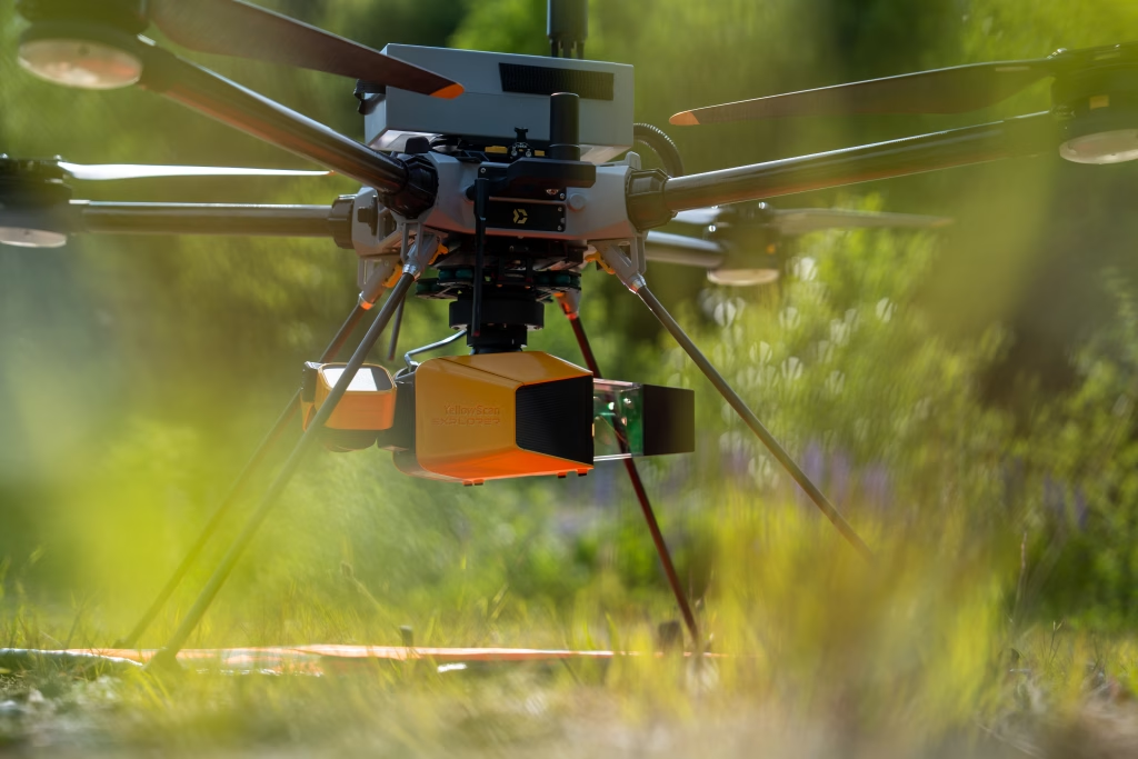
Figure 2: The YellowScan Explorer – Through the Foliage
Another key advantage of red LiDAR is its pulse density. The Explorer can generate up to 500,000 pulses per second, producing highly detailed point clouds. This density is crucial for fine-scale topographic mapping, digital elevation models, and vegetation analysis. Its lightweight design also allows deployment on UAVs, helicopters, and light aircraft, offering flexibility for a wide range of surveys.
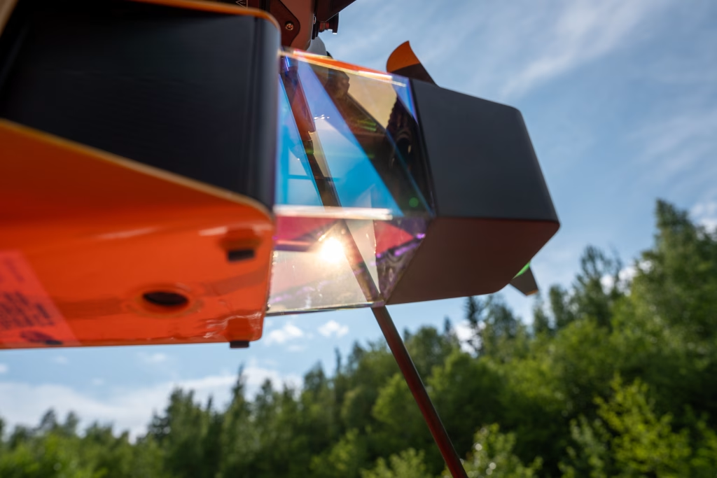
Figure 3: YellowScan Explorer – 360 Degrees of Pulses
Green LiDAR for Bathymetry
Green LiDAR, operating around 532 nanometers, is the established choice for underwater mapping. Unlike red LiDAR, green wavelengths penetrate the water column, making them ideal for bathymetric applications such as mapping shallow seabeds, eelgrass meadows, and coastal habitats. Green systems typically operate at lower pulse rates, often between 50,000 and 200,000 pulses per second. Although the resulting point density is lower, the ability to see beneath the water surface makes green LiDAR indispensable for coastal and marine research.
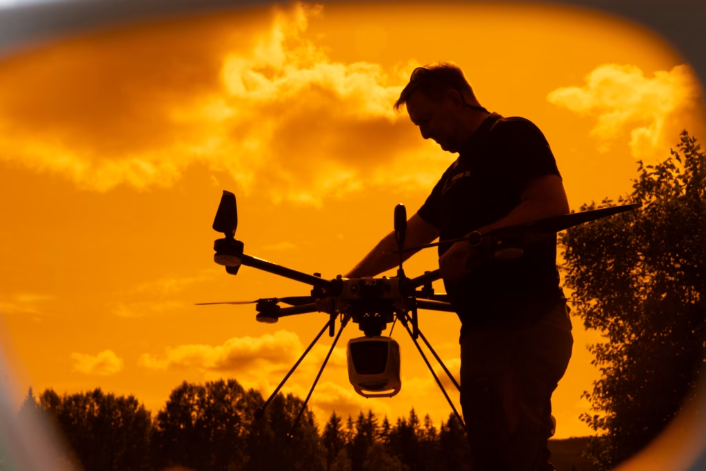
Figure 4: YellowScan Navigator – A complementary perspective: Through the protective eyewear
Complementary Systems for a Complete Picture
Red and green LiDAR are not competitors but complementary tools. Red LiDAR provides unmatched detail on land and vegetation, while green LiDAR captures what lies beneath the water. Together, these systems give SeaBee researchers the ability to build integrated datasets that connect terrestrial and marine environments. This integration is essential for understanding coastal change, monitoring habitats, and supporting management decisions.
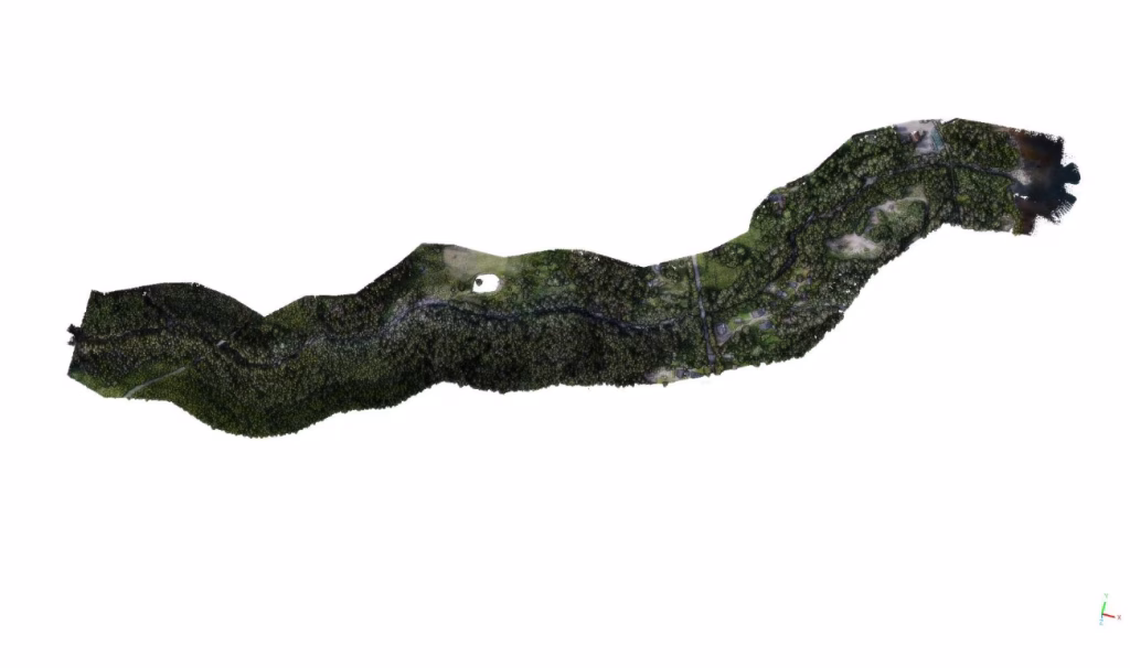
Figure 5: Colorized Point Cloud combining Yellow Scan Navigator (Green LiDAR) with Yellow Scan Explorer (Red LiDAR).
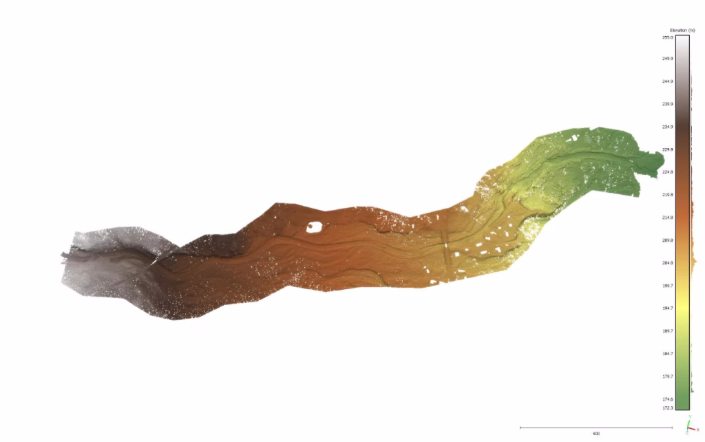
Figure 6: A digital terrain model of Hegga.
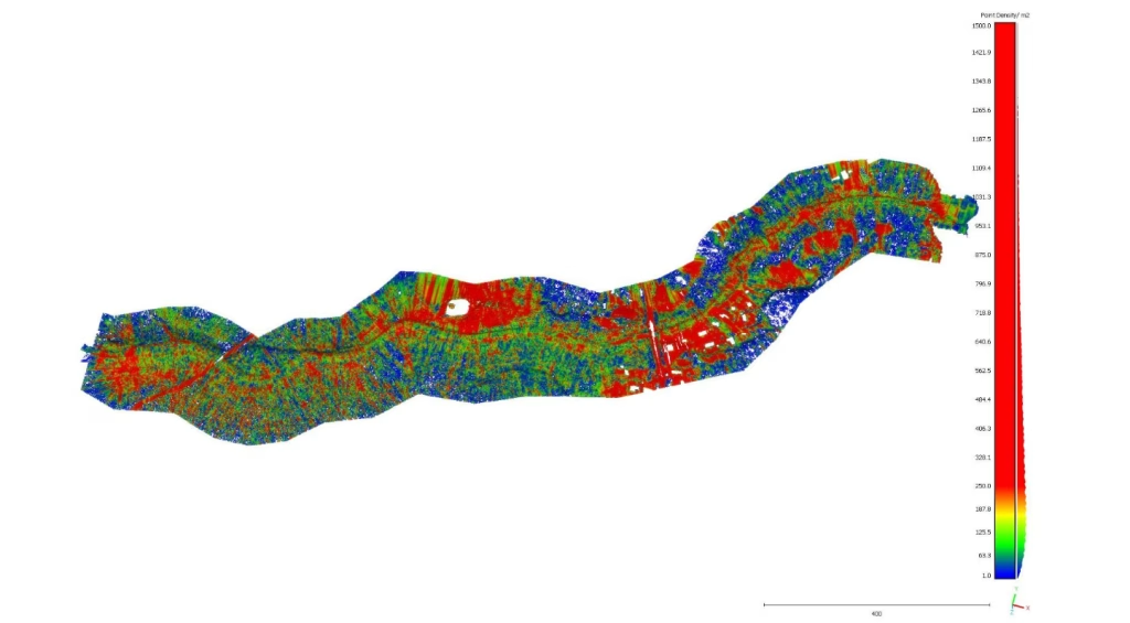
Figure 7: A point density cloud of Hegga.
Supporting Research and Environmental Management
With the addition of the YellowScan Explorer, SeaBee strengthens its role as a national research infrastructure. The combination of high-density red LiDAR and water-penetrating green LiDAR enables researchers, municipalities, and government agencies to access precise and reliable data. This information is vital for protecting ecosystems, planning for climate adaptation, and advancing knowledge of Norway’s unique coastal landscapes.