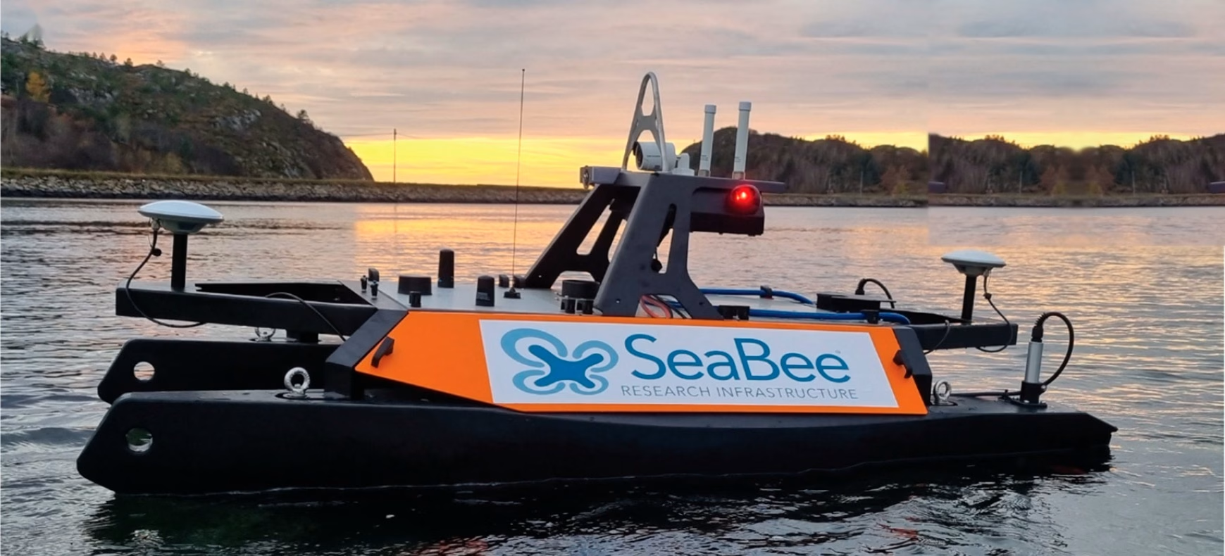
Hyperspectral mapping of seagrass and macroalgae habitats at Remøy on the Norwegian west coast
Published open access in Remote Sensing, the article evaluates hyperspectral mapping of seagrass and macroalgae habitats at Remøy on the Norwegian west coast, using two SeaBee platforms: an aerial drone with a hyperspectral imager (10 × 10 cm resolution) and a surface drone carrying an underwater hyperspectral imager (1 × 1 cm resolution). Spectral angle mapper classification reached 89% and 86% overall accuracy for the two platforms, and the results show how they complement each other: the aerial drone delivers broad spatial coverage, while the centimetre-scale surface data provides high-quality training and validation data, reducing the need for field-based ground truthing.