drones Library
drones

Hyperspectral mapping of seagrass and macroalgae habitats at Remøy on the Norwegian west coast
Published open access in Remote Sensing, the article evaluates hyperspectral mapping of seagrass and macroalgae habitats at Remøy on the ...
3D eelgrass mapping with drone LiDAR
Published open access in Remote Sensing, the article demonstrates how drone-borne topobathymetric LiDAR can map eelgrass (Zostera marina) habitat in ...
SeaBee’s Drone and Sensor Infrastructure Report
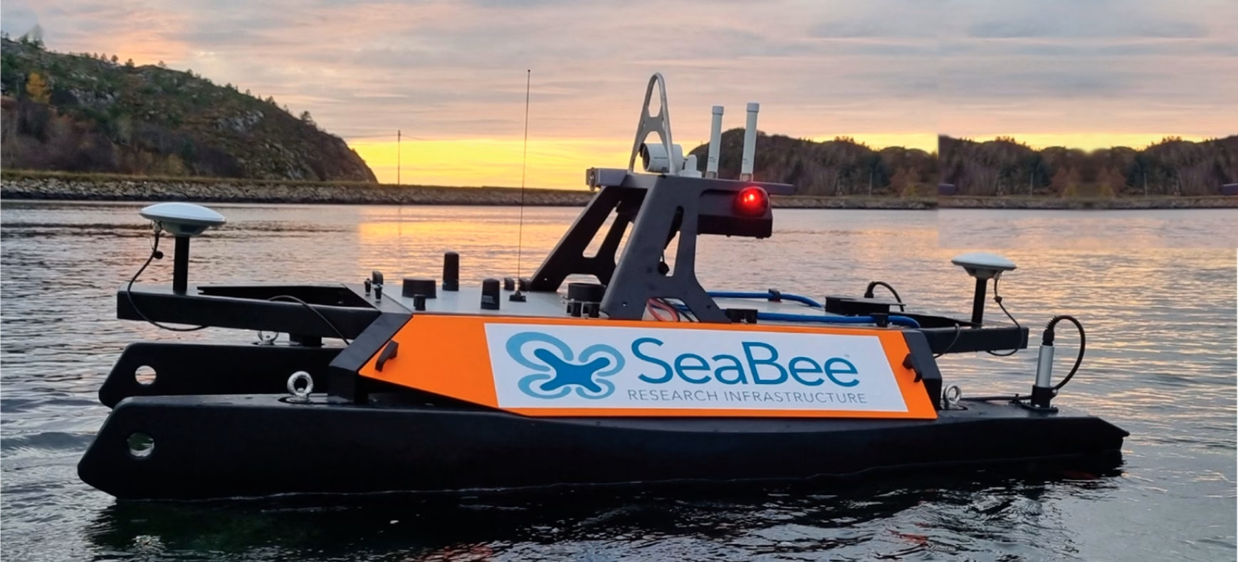
The report is an extensive overview of the three primary drone categories employed by SeaBee: aerial, surface, and underwater drones, ...
Overview of the SeaBee Data Platform Report
The report discusses how the SeaBee data platform provides researchers with powerful automated processing workflows capable of rapidly handling data ...
SeaBee Impact Report
The report highlights SeaBee's role in establishing a national center for drone-based services, significantly enhancing the precision, efficiency, and scope ...
Establishing operational nodes & drone operations for SeaBee
Tor Arne from Norges teknisk-naturvitenskapelige universitet (NTNU) shares what is most interesting about SeaBee work to facilitate drone pilot training, ...
Counting seals using drones
Martin Biuw is a researcher at the Norwegian Institute of Marine Research. As part of his work on the SeaBee ...
Counting seals using drones
Martin Biuw is a researcher at the Norwegian Institute of Marine Research. As part of his work on the SeaBee ...
Showing: 1- of 8