Mapping the intertidal Zone with Drones
Charlotte Garmann-Johnsen | September 1st, 2021 | Stories
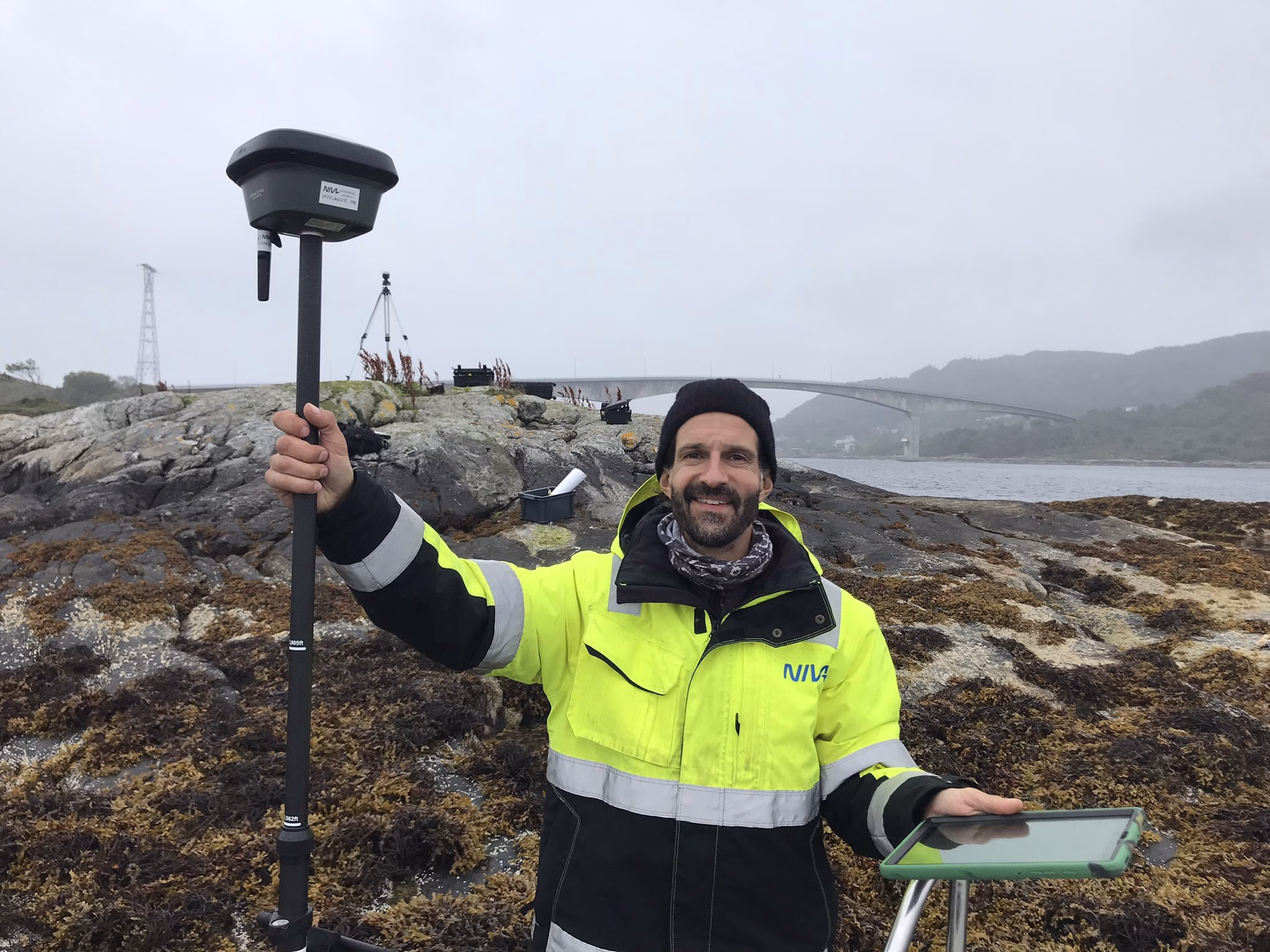
This September we mapped the Intertidal Zone for habitat fragmentation index in Herøy and Ulstein using drones as part of the the COASTFRAG project from the Norwegian Research Council. COASTFRAG is a is a research project dedicated to contributing to the knowdege base needed to safeguard the Blue Forests’ ecosystem services and ensureing a long-term Blue Growth (as stated in the EU Blue Growth strategy and the Norwegian Government’s Updated Ocean Strategy).
For more information about the COASTFRAG project, check out their website here: https://www.coastfrag.org/