
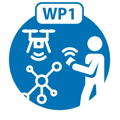
WP1: Drone Infrastructure Specification & Establishment
We specify user requirements, design drone and sensor infrastructure, purchase hardware and software, and set up physical space. Two physical nodes are planned at NIVA in Oslo and NTNU in Trondheim, where the required space is guaranteed by the two institutions.
Design and Methods
SeaBee identifies user requirements, including specifications to purchase drones and sensor systems, and allocates the space necessary to accommodate drones, sensors, and associated infrastructure.
Systems proven in the field are preferred. Fixed-wing and multirotor drones are required for different applications, e.g., fixed-wings cover larger areas in shorter time (300 h/hour), while rotor drones are preferred for low altitude (<50m) and high precision mapping (<1cm/pixel).
This Work Package will define, specify and purchase drone-sensor systems that fit the needs of downstream infrastructure. We systematically evaluate requirements based on feedback from the other infrastructure components.
Anders Gjørwad Hagen
WP1 lead
Work Package: Drone Infrastructure Specification & Establishment
Phone: +47 959 28 778
Email: anders.hagen@niva.no
Organisation: https://www.niva.no