Publication Library
Publication

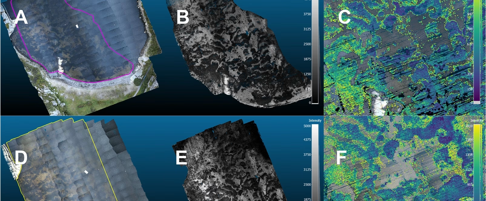
3D eelgrass mapping with drone LiDAR
Published open access in Remote Sensing, the article demonstrates how drone-borne topobathymetric LiDAR can map eelgrass ...
SeaBee’s Drone and Sensor Infrastructure Report
The report is an extensive overview of the three primary drone categories employed by SeaBee: aerial, ...
Overview of the SeaBee Data Platform Report
The report discusses how the SeaBee data platform provides researchers with powerful automated processing workflows capable ...
SeaBee Impact Report
The report highlights SeaBee's role in establishing a national center for drone-based services, significantly enhancing the ...
Using UAVs to map surging glaciers in Svalbard (Student Research Report)
Kaelan Lockhart’s 2025 student research report, completed during a research stay at NTNU, presents a UAV-based ...
Drone data collection protocol using DJI Mavic 3E/3M RTK – Seabird mapping with SeaBee
The document "Drone data collection protocol using DJI Mavic 3E/3M RTK – Seabird mapping with SeaBee" ...
Drone and ground-truth data collection, image annotation and machine learning: A protocol for coastal habitat mapping and classification
Aerial drone imaging is an efficient tool for mapping and monitoring of coastal habitats at high ...
Monitoring macroplastics in aquatic and terrestrial ecosystems: Expert survey reveals visual and drone-based census as most effective techniques
Monitoring macroplastics in aquatic and terrestrial ecosystems: Expert survey reveals visual and drone-based census as most ...
Automated monitoring of the early life stages of fish (Phd Thesis)
This thesis presents an automated imaging system developed to improve the monitoring of early life stages ...
Method development for mapping kelp using drones and satellite images: Results from the KELPMAP-Vega project
Method development for mapping kelp using drones and satellite images: Results from the KELPMAP-Vega project ...
Showing: 1- of 39