3D eelgrass mapping with drone LiDAR
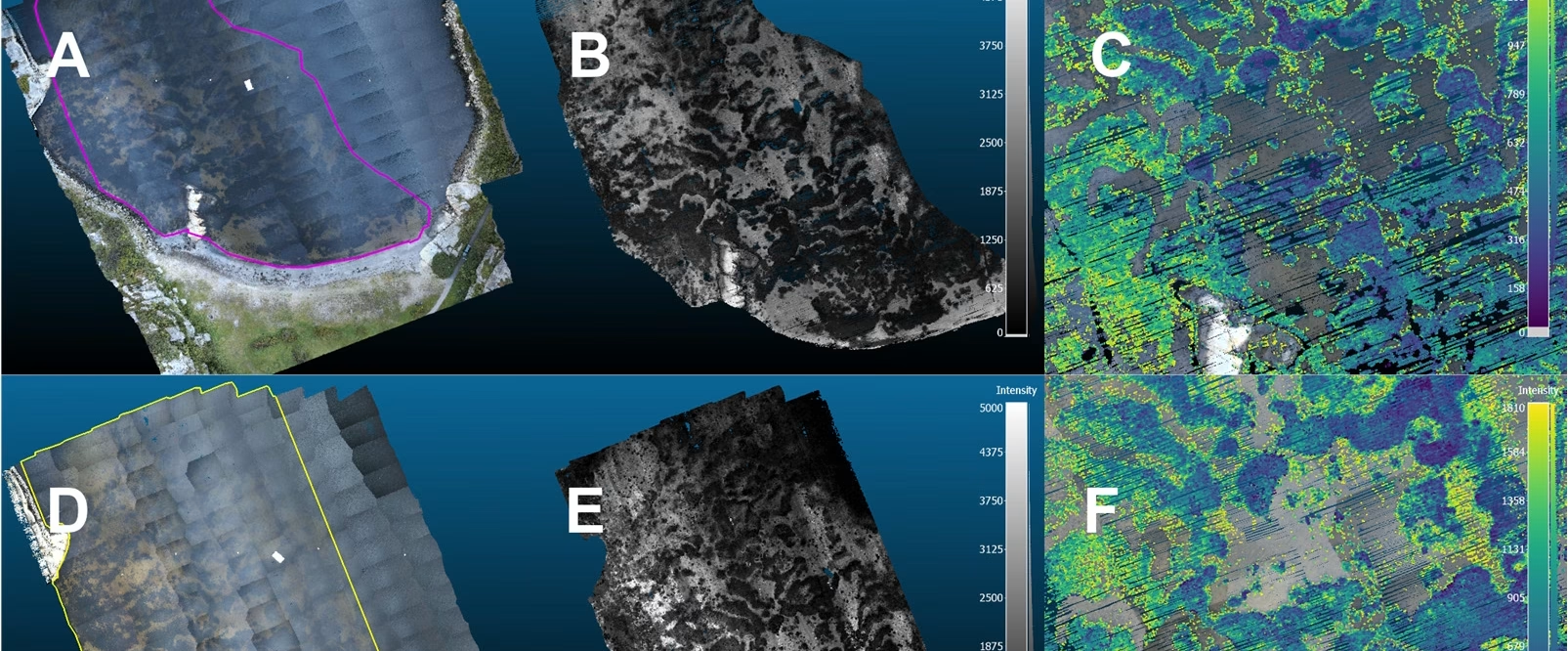
Published open access in Remote Sensing, the article demonstrates how drone-borne topobathymetric LiDAR can map eelgrass (Zostera marina) habitat in three dimensions at centimetre scale. Surveying a sheltered bay at Ølbergholmen in Vestfold, the team classified the green LiDAR point cloud with a Random Forest model and built a terrain model of the sea floor and a surface model of the eelgrass canopy. From these, they quantified canopy height, habitat volume and above-ground carbon stock of eelgrass tissue, making this the first study to derive volumetric blue carbon estimates for a marine habitat-forming species from drone-borne LiDAR. The method offers a reproducible and cost-effective alternative to crewed airborne LiDAR and manual in situ surveys.