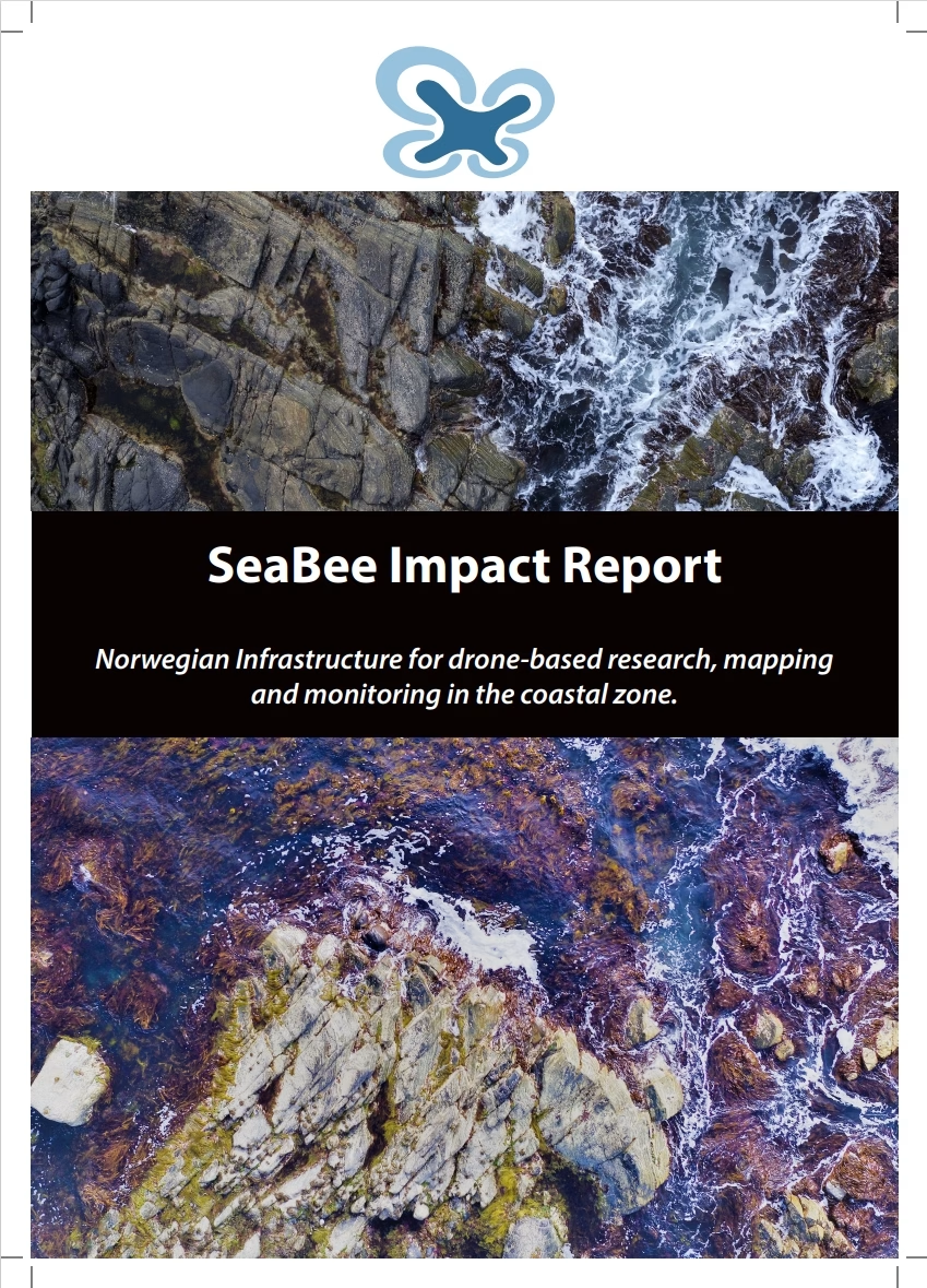
SeaBee Impact Report
The report highlights SeaBee’s role in establishing a national center for drone-based services, significantly enhancing the precision, efficiency, and scope of ecological mapping, species monitoring, and habitat assessments along Norway’s extensive coastline. Through more than 300 field campaigns and 1,484 drone missions, SeaBee has gathered over 100,000 images, mapping seabird populations, kelp forests, seagrass meadows, and marine mammal habitats with unprecedented resolution and minimal environmental disturbance.
