Overview of the SeaBee Data Platform
Trygve Heide | July 23rd, 2025 | Stories
SeaBee has officially released a comprehensive new report titled “Overview of the SeaBee Data Platform,” offering an in-depth look at Norway’s cutting-edge national infrastructure on solutions for data handling and visualization related to drone-based research and environmental monitoring. The report, authored by James Sample, Kim Leirvik, Debhasish Bhakta, and Andrea Merlina, covers advancements achieved during the initial phase of the project (2020–2025), including sophisticated data pipelines, cloud-based analysis tools, and innovative visualization components. The report discusses how the SeaBee data platform provides researchers with powerful automated processing workflows capable of rapidly handling data from RGB, multispectral, and hyperspectral sensors carried by aerial drones.
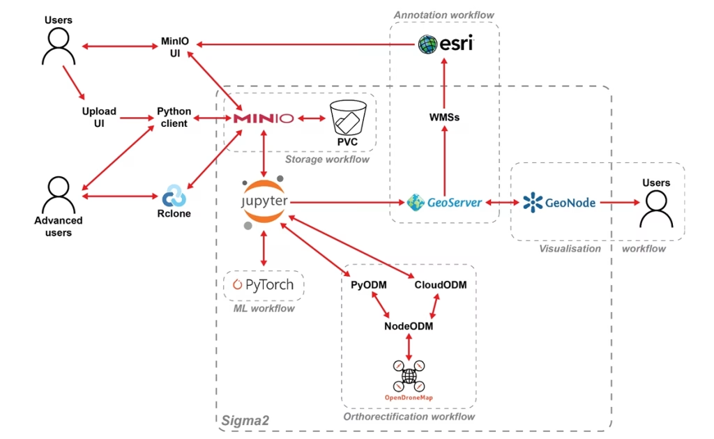
Figure 1: Core components and “workfows” on the SeaBee data platform.
With hosting at Sigma2’s eco-friendly Lefdal Mine data center, the platform provides a foundation for SeaBee’s commitment to sustainability, open data sharing, and scientific collaboration, aligning with the FAIR principles (Findable, Accessible, Interoperable, and Reusable).
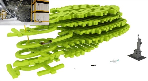
Figure 2: Lefdal Mine Data Centre in Nordfjord. Images © Sigma2.
The detailed report serves as a valuable resource for researchers, institutions, and environmental stakeholders interested in leveraging drone technology for coastal habitat mapping, biodiversity monitoring, and ecological research. To read the full “Overview of the SeaBee Data Platform” report, please visit this link:
Overview of the SeaBee data platform