SeaBee’s Drone and Sensor Infrastructure report
Trygve Heide | July 1st, 2025 | Stories
SeaBee has published a new report titled “SeaBee’s Drone and Sensor Infrastructure,” providing detailed insights into the advanced technological systems supporting Norway’s coastal environmental monitoring. The report is authored by Anders Gjørwad Hagen, Medyan Ghareeb, Trygve Heide, Kasper Hancke, Øyvind Tangen Ødegaard, Kristina Øie Kvile, Sabine Marty, Hege Gundersen, Pål Kvaløy, and Tor Arne Johansen. It highlights the substantial developments and status of SeaBee’s drone fleet and sensor capabilities, outlining their diverse applications in ecological research and mapping.
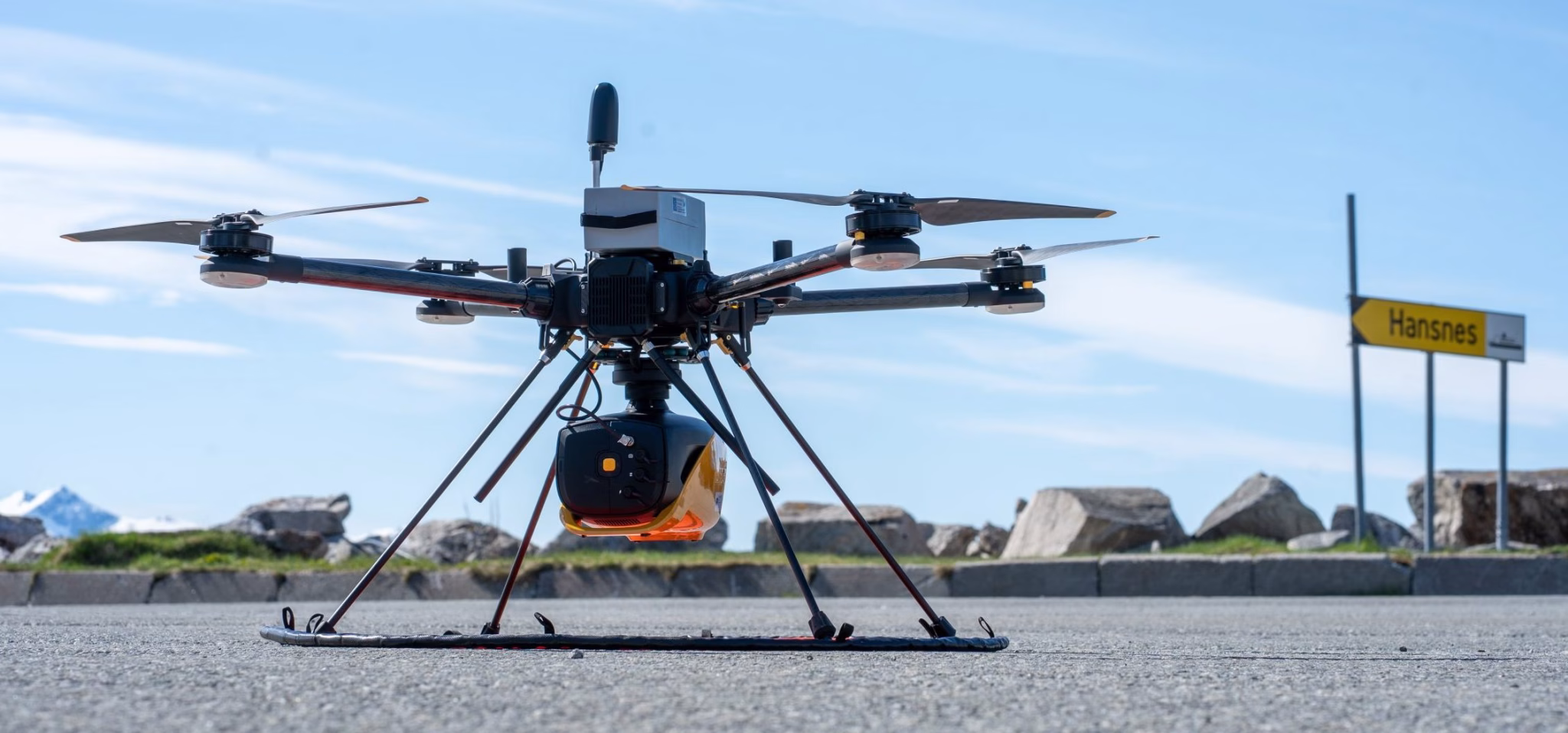
Central to the report is an extensive overview of the three primary drone categories employed by SeaBee: aerial, surface, and underwater drones, each equipped with specialized sensors, including RGB cameras, multispectral and hyperspectral imaging, LiDAR systems, acoustic instruments, and environmental sensors. These technologies collectively enable detailed assessments and monitoring of coastal ecosystems, significantly enhancing environmental research and decision-making processes.
The report also discusses SeaBee’s operational hubs in Oslo and Trondheim, which serve as pivotal facilities for training drone pilots, equipment maintenance, and data calibration. It can be found by clicking this link:
SeaBee’s Drone and Sensor Infrastructure.