Interview with James Sample
Charlotte Garmann-Johnsen | January 28th, 2025 | Stories
Interview with James Sample, Senior Engineer, NIVA.

Q: What is the SeaBee platform?
The SeaBee platform is a cloud-based computing pipeline hosted by Sigma2, the Norwegian national infrastructure for computational science. The aim of the pipeline is that drone pilots can upload data directly from the field to Sigma2, where we have routines running constantly to process the data (e.g., stitch the raw images together and classify them automatically) and then publish results online. We can count the number of seabirds, or marine mammals like seals and whales. We can also generate habitat maps showing, for example, where the eelgrass is, or where the different classes of marine algae are. This allows us to estimate the area of different habitat types in shallow coastal zones. We can see down to ~10 meters under the water in good conditions. It makes a lot of tasks easier than they used to be.

Q: What are the input datasets?
It is mostly pixel-based aerial imagery (raster data). RBG sensors on the drones give the highest resolution (i.e., smallest pixel size), but we also have multispectral cameras that measure over a greater range of wavelengths, which can be helpful for identifying some vegetation classes. We have hyperspectral cameras too, which have lower pixel resolution but measure more than 200 spectral “bands”. One of the challenges in SeaBee is how to combine these different datasets in the best way to get the most valuable information.
 |
 |
Drones provide data to the SeaBee platform. Source: SeaBee
In addition to flying drones, we also have surface vehicles like the Otter, which is an autonomous boat equipped with sensors for mapping and monitoring areas of the seabed in detail.

One of the SeaBee Otters. Photo: Kasper Hancke |

A drone campaign using the Otter in Storøykilen. Photo: Kasper Hancke |

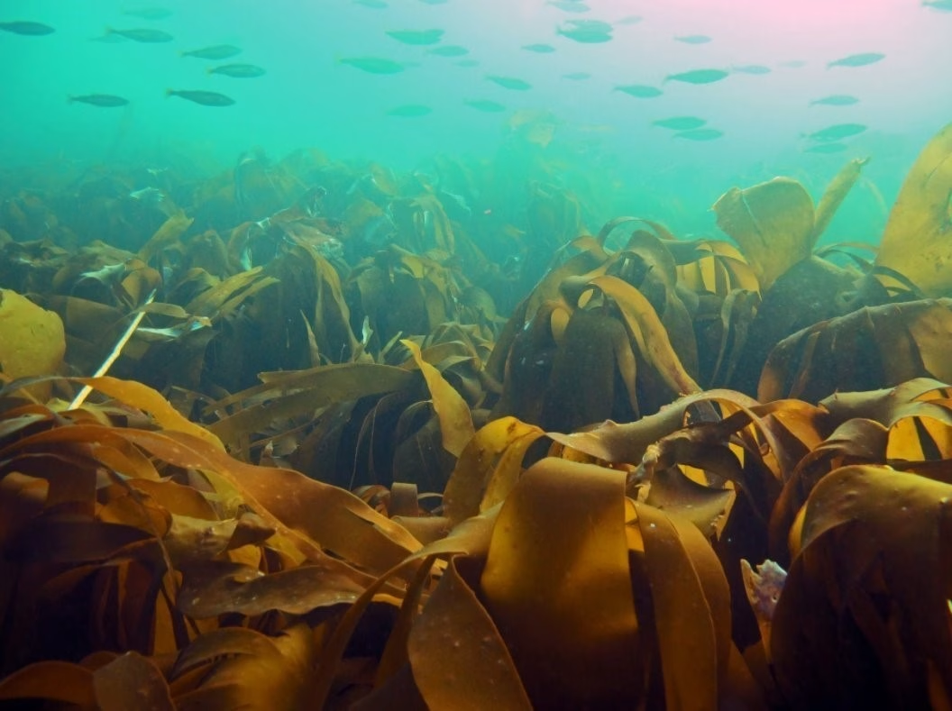
An image taken at 50 m altitude by a MavicMini drone in Runde for KELPMAP in 2022. Photo: Kasper Hancke |

Collecting ground-truth data at the same location. Photo: Kasper Hancke. |

An underwater image collected using a GoPro. Photo: Hege Gundersen
|
 |

Different views of Lidar data collected for transects of the Lier River, taken in 2024 by Hege Gundersen.
Q: What are the advantages compared to traditional methods?
Advantages include that we can get higher-resolution images than with satellites or planes. With the RGB sensors, we can easily get 1 cm resolution mosaics, which is better than most other remote sensing. It is also easier to get permission to fly a drone than a plane in most cases, so data collection is faster and more flexible. Compared to manual surveys, using drones is less labour-intensive, and in some cases – such as for seabirds – it arguably causes less disturbance too.
 |
 |
Different views of Lidar data collected for transects of the Lier River, taken in 2024 by Hege Gundersen.
Q: What is the environmental footprint of the SeaBee platform?
Data storage and processing are minor components of the overall energy footprint for SeaBee: most of our energy and CO2 emissions come from travelling to/from field sites and getting around while we are there. We do use AI for image classification, but our models are “lightweight” compared to the recent Large Language Models you read about in the news (like ChatGPT). In addition, the Sigma2 data center where we run our workflows is one of the most environmentally friendly in Europe, with all of its electricity provided by a nearby hydropower plant.


Different views of Lidar data collected for transects of the Lier River, taken in 2024 by Hege Gundersen.
Q: Who is using the platform?
The majority of the data on the platform right now comes from NINA’s annual seabird surveys – they generate 30-50 TB of data per year. Other organisations interested in seabirds, such as Birdlife International, are also uploading data, and for habitat mapping there are several EU projects using the platform to process and publish their datasets.
In phase two of SeaBee, we hope to extend the range of external users, and we are open to collaboration!


Different views of Lidar data collected for transects of the Lier River, taken in 2024 by Hege Gundersen.
Q: How is SeaBee contributing to sustainable management of coastal areas?
I am not an ecologist, but… If you want to improve management of the natural environment, the starting point has to be a good understanding of the current status. SeaBee gives us a more detailed picture of the status than we have ever had before. If we can improve the evidence base for understanding how things are now, that should allow us to make better plans for sustainable management in the future.
To learn more about James’ work at SeaBee, watch his talk on YouTube here!