Interview with Terje Thorsnes
Charlotte Garmann-Johnsen | January 6th, 2025 | Stories
Interview with Terje Thorsnes, senior geologist at Geological Survey of Norway.

I work at the Geological Survey of Norway as a marine geologist on project coordination and management, but I also work on using new technology. I have also worked on using autonomous underwater vehicles and things like Synthetic Aperture-Sonar. I had never used drones before, except for a pilot project.
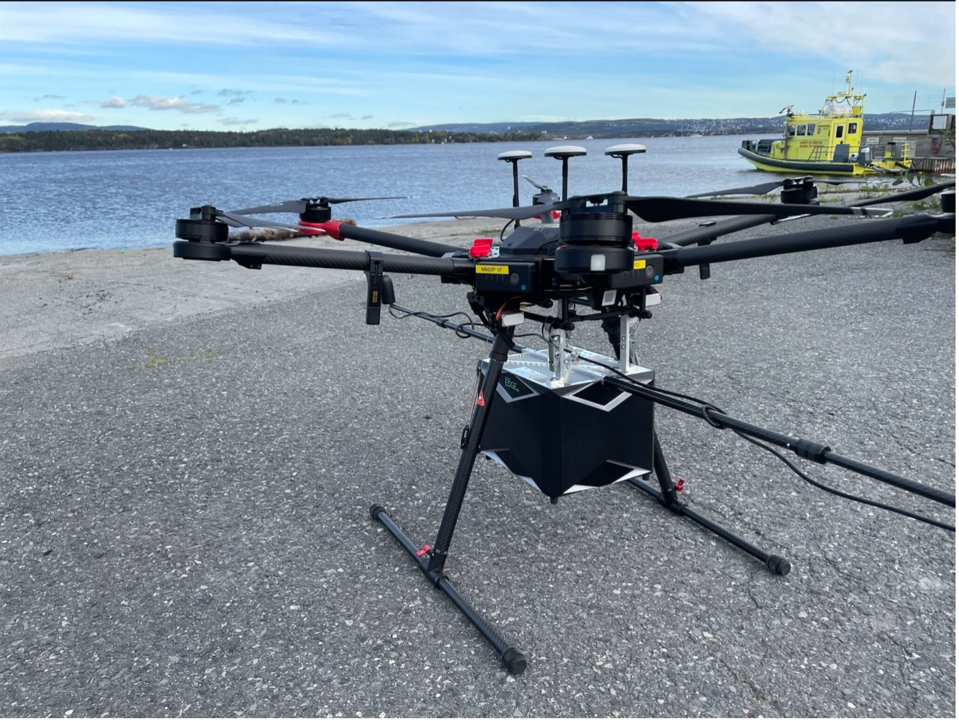
I was heavily involved in the inception of the marine basemap concept and the use of drones is very relevant there. I attended the SeaBee seminar at the beginning of November. It was very interesting and not least I was impressed by what they have done with data management, with the entire system they have built from everything that happens during data collection to management but also by linking the data very closely to machine learning, and have the chain all the way to publishing maps.

If we now get this project with marine basemaps started, we must consider different forms of cooperation with SeaBee. We can have a close collaboration and can come in and use the SeaBee infrastructure so that we don’t have to build everything from scratch. In any case, I got a very good impression of the work they have done. It is unique in Norway in handling the entire value chain when it comes to drone data.
There are many who operate drones, but I get the impression that much of the data management and further use is ad hoc. Seabee has established a proper infrastructure that seems to work very well, and they have skilled people, i.e. James Sample from NIVA. Maybe we can establish contact between people who work with drones directly with him to see if there are any synergies and find out how NGU could use the infrastructure. The intention is to make contact and consider to use SeaBee more actively. Seabee has surveyed small areas in detail while we want to cover large areas, and it is likely that LiDAR bathymetry will be the main approach, and it may be relevant for us to look at the SeaBee data infrastructure. It may also be relevant for the project to hire SeaBee to map certain smaller areas, so that we do not have to build all competence internally.
To learn more about Terjes work, watch his talk on YouTube here!