Nice to Sea you!
Charlotte Garmann-Johnsen | December 21st, 2021 | Stories
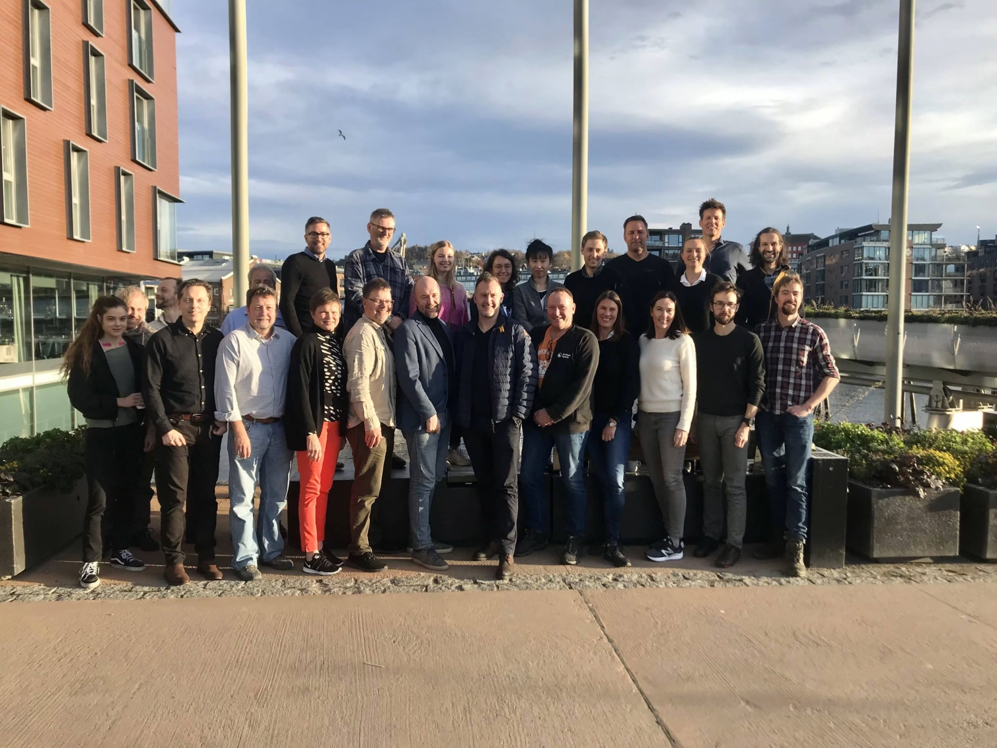
The second Annual SeaBee meeting took place in Trondheim, moving the project into the next phase of developing the research infrastructure.
From November 1-3 2021, the second annual SeaBee meeting was held at the Scandic Nidelven, Trondheim, giving SeaBee folk the opportunity to work together on developing the next phase of the project and assessing the past year. For those unfamiliar with it, SeaBee is a cutting-edge project bringing together experts from a variety of fields to establish drone-based infrastructure to be used for scientific research. The goal is to create a cohesive national network, enabling both people and universities to share and use data, collected with drones, to better understand Norway’s natural environment. This will in turn allow SeaBee to use this newly created drone content to train a machine learning algorithm, helping to automate the data analysis process and in turn, allowing researchers to do their important work faster, better, and more efficiently.
The 3-day meeting provided an opportunity to discuss and work on the longer-term strategy for the project and refine the work plan for next year. The annual meeting was packed with presentations, activities, and discussions. It also provided us a chance to get to know each other better.


Day 1
The session began with Kasper Hancke (SeaBee Lead, Project coordinator) giving an introductory speech, explaining practical information, the program, and meeting expectations. Each Work Package lead presented their work so far, the challenges they’ve faced, and future progression.
Updates from WP1: Drone Infrastructure Specification & Establishment
WP 1 has purchased vital equipment, including flying, surface and underwater drones. They’ve also purchased RGB, IR, Multi- and hyperspectral sensors along with ground truthing and calibration equipment. The next step for the project will be to specify and purchase both “smaller” and “larger” vertical take-off and landing (VTOL) drones. VTOL drones are a type of drone that can take off and land without needing much space, making them ideal for difficult terrain.
Updates from WP2: Establishing Operational Nodes & Drone Operations
SeaBee is operational! The Norwegian University of Science and Technology (NTNU) are in the process of setting up to fly under their own license. Currently, the WP is working on the organization of drone operations, education and the drone mission logbook. Work Package 2 is going to be busy working on making sure that the SeaBee drone pilots are trained to meet upcoming new drone regulations. The plan for this coming year is to finalize the Operation Manual to meet SeaBee’s needs. An important but challenging next step is to establish a drone logbook that works for all types of drones that SeaBee uses, including surface and underwater drones.
Updates from WP3: Data Analysis
The Beta model used for classification of habitat mapping and bird identification is in place, and an Internal (NR/analysis) image classification pipeline is in place. WP3’s next steps include the need to evaluate and decide on an annotation tool for machine learning training, testing and evaluating new data that’s been collected from NINA, HI, and NIVA. WP3 has also identified the need to integrate and work more closely with WP4. WP3 also plans on conducting test runs to include hyperspectral data for classification.
Updates from WP4: Data Storage & Sharing
Good news, the SeaBee “Dummy” database has been deployed! WP4 is currently making a plan for evaluating data storage solutions and data platforms. The next steps include finalising the Data Management Plan (DMP) and make the decision of whether SIGMA can provide the data platform SeaBee needs. WP4 will also start developing a cloud-based map solution or data visualization. This will be a collaborative work between GRID-Arendal and NIVA.
Updates from WP5: Drone Data Product Validation
WP5 has been busy! The first field campaigns have been completed, looking at seafloor habitats, sea birds and mammals. Ortomosaic images have been generated and are ready for classification. The next step for WP5 will be the annotation of image data for machine learning classification. WP5 is making final decisions on fieldwork locations and tasks in 2022, keeping the aim of SeaBee’s overall applications in mind. The plan is to have a first draft of a protocol for field validation (ground truthing) of drone images ready.
Updates from WP6: Communication Outreach & Branding
WP6 has set up the SeaBee webpage, updating and adding sections throughout the year. The SeaBee media strategy has also been completed. The next steps include the further development of the website and adding more stories and content. We also want to develop a Plan for Exploitation and Dissemination of Results (PEDR), making sure information and results from the project is communicated effectively and to the right people. This will be a collaborative task with all the Work Packages.


Day 2
The second day focused on group discussions, mixing different organisation members together to identify the project’s current and future needs. There were a total of 6 groups formed to address data handling, fieldwork for 2022, Seabee marketing, data visualization, pilot training and new applications.
For the afternoon session, we traveled to NTNU, the Norwegian University of Science and Technology and a participating institute of the SeaBee consortium, to see their drone and satellite lab. There we were given an overview of drone and satellite mechanics with a few of their upcoming projects. Some Master’s students then presented their current work using drones and unmanned vehicles, showcasing some of the possible applications for SeaBee to help with current research.

Day 3
Day three began with presentations from each of the discussion group leads from the previous day. The Advisory Board of the project presented their feedback on the current status of SeaBee’s Work Packages and their recommendations for the next year. Finally, the meeting ended with Kasper Hancke presenting the main takeaways from the workshop and thoughts on the way forward for SeaBee. The vision is to develop a cost-efficient toolbox for environmental research and monitoring, and we’re all working hard to achieve that through SeaBee’s multidisciplinary expertise. Overall, everyone is satisfied with the project performance and that we’re on the right track despite the COVID-19 pandemic.
After working and interacting mostly through a screen, it was a treat for SeaBee’s core team to meet and work together again. Until next time!
