SeaBee’s Drone and Sensor Infrastructure Report
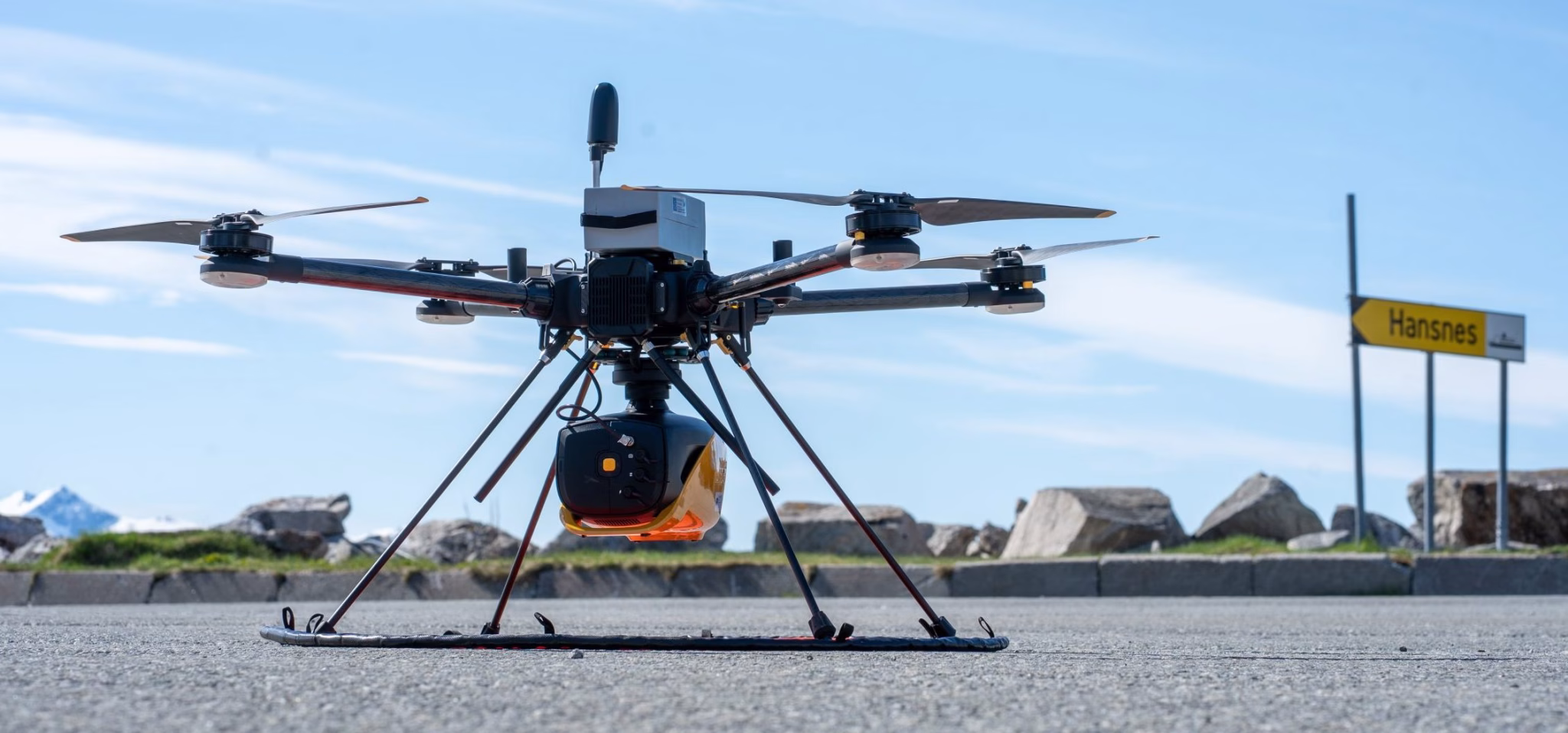
The report is an extensive overview of the three primary drone categories employed by SeaBee: aerial, surface, and underwater drones, each equipped with specialized sensors, including RGB cameras, multispectral and hyperspectral imaging, LiDAR systems, acoustic instruments, and environmental sensors. These technologies collectively enable detailed assessments and monitoring of coastal ecosystems, significantly enhancing environmental research and decision-making processes.
The report is freely accessible below.