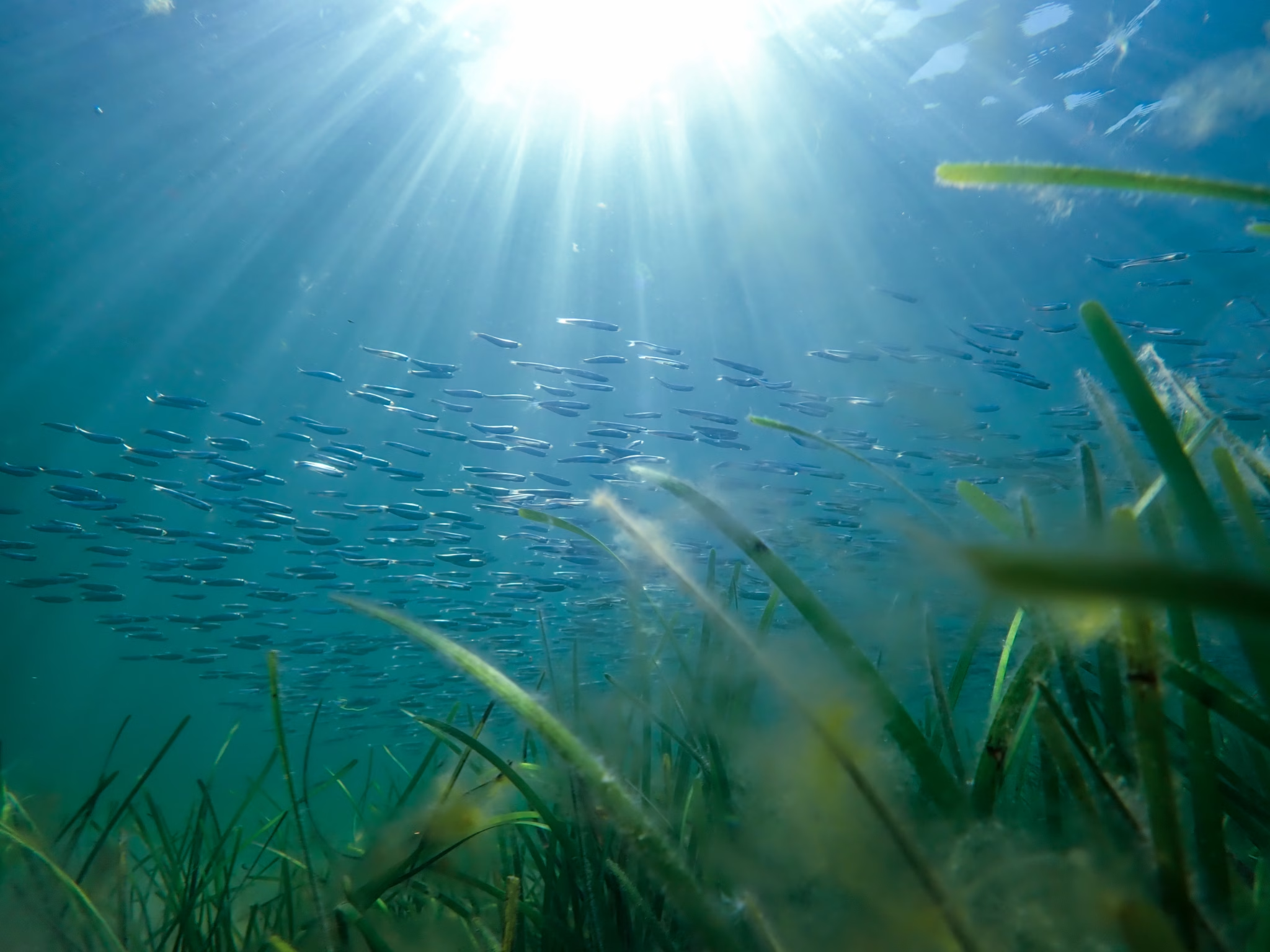
Seagrass in a new light
Trygve Heide | November 12th, 2026 | Stories
In July, SeaBee researchers from NTNU published a study in Remote Sensing describing how they used such a hyperspectral camera to survey an eelgrass meadow from the air using a drone and beneath the surface with a robot boat. These surveys were validated by marine biologists and the two views fit together like pieces of a jigsaw.
The bay lies on the south side of Remøy in Møre og Romsdal, next to the seabird island of Runde. A channel for small boats cuts through it, and on both sides, sheltered from the traffic, eelgrass grows over sand and gravel.
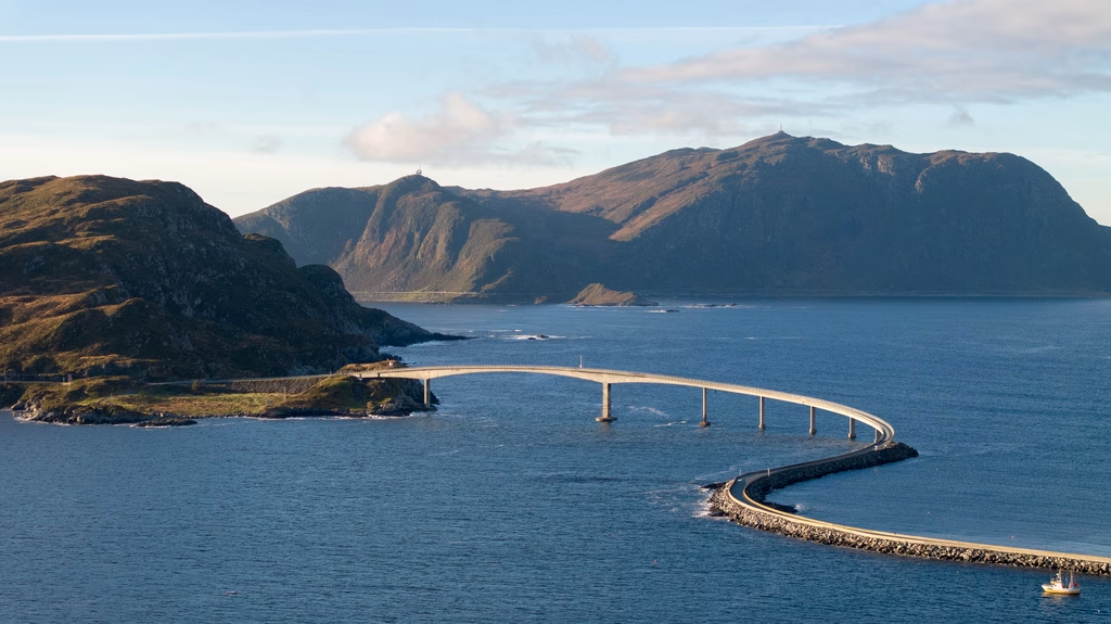
A birds eye perspective of the north side of Remøy. Photo: T. Heide.
During fieldwork in late summer 2022, at low tide, a drone with a hyperspectral camera covered about 20,000 square meters of the bay with a pixel size of 10 by 10 centimeters. Directly after, a two-meter robot catamaran with an underwater hyperspectral camera attached underneath, recorded the seabed with the meadow from one to two meters away in 1-centimetre pixels, fine enough to show the sand between single seagrass blades.
A two-metre robot catamaran ran six lines through the meadow. Below it, an underwater hyperspectral camera recorded the seabed from one to two metres away in 1-centimetre pixels, fine enough to show the sand between single seagrass blades.
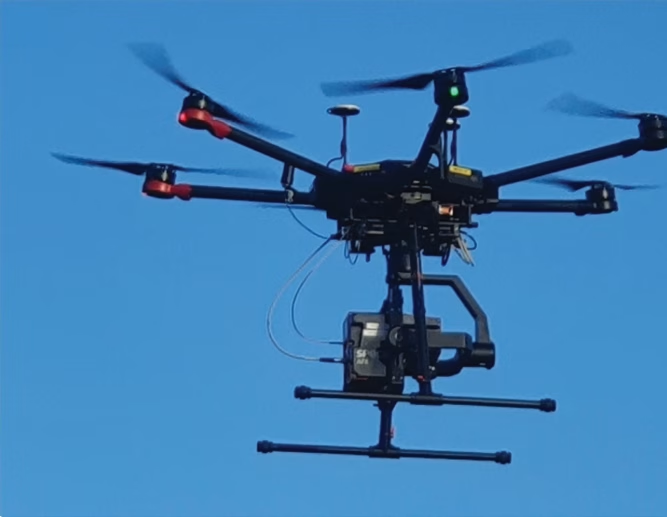
The DJI Matrice 600 Pro carrying a Specim hyperspectral camera. Photo: M.B. Nevstad
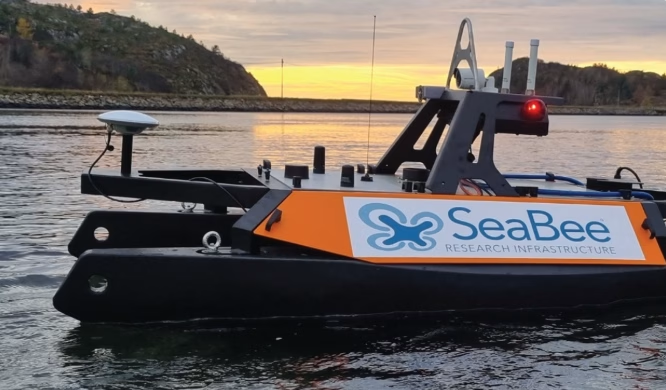
SeaBee’s Otter Pro robot boat, which carries the underwater hyperspectral imager. Photo: M.B. Nevstad
A normal camera records three colours. A hyperspectral camera records hundreds of narrow bands. Seagrass and brown algae carry different pigments, so they reflect light differently and can be told apart.
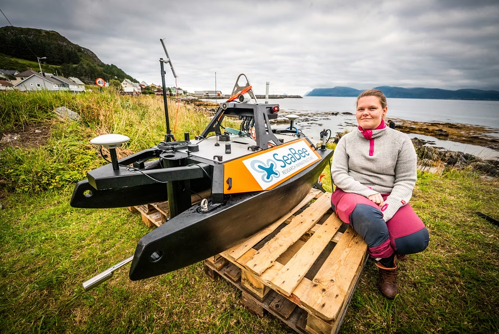
Photo of Malin Bø Nevstad and the Maritime Robotic Otter USV. Photo: Bjørnar Torvholm Sævik / Vestlandsnytt.
“Hyperspectral imaging enables us to partition the visible light (400-700 nanometers) into different wavelengths, and more information about the ecosystems will be available to us,” says Malin Bø Nevstad at NTNU, who led the study with colleagues from NIVA, NORCE and UNIS.
NIVA researchers Hege Gundersen and Kristina Øie Kvile collected the ground-truth data in the field. Against those data, the drone map reached 89 percent overall accuracy and the boat map 86 percent. When either map said seagrass, it was right 97 to 100 percent of the time. Sand was harder to classify.
The boat scored slightly lower despite its finer pixels. The authors say this is likely because the field data were recorded in 10 by 10 centimetre squares to match the drone, while the boat sees what lies inside them.
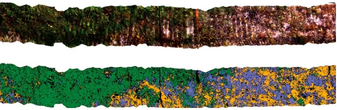
A 13-metre stretch of the boat’s survey line as the camera saw it (top) and after classification (bottom): seagrass in green, brown algae in orange, sediment in blue. Figure: Nevstad et al. 2026, CC BY
Long strands of dead man’s rope, a seaweed reaching from seabed to surface, tangled the boat and sometimes draped over the camera, leaving dark patches in the data.
The authors suggest the boat’s data could help train and validate drone surveys and reduce fieldwork, with the field data still the reference.
“Combining this with an on-water or underwater hyperspectral imager, the seagrass can be observed in high detail and verify the position and observable health state,” says Nevstad.
Accuracy may be slightly overestimated, since some pixels were used for both training and validation. Seagrass deeper than about two metres was probably undercounted from the air, and the method has so far been tested in one bay in one season.
Read the paper: Nevstad, M.B., Bakken, T., Løvås, H.S., Hancke, K., Johansen, T.A. and Johnsen, G. (2026). Hyperspectral Imaging of Seagrass and Macroalgae Using Uncrewed Aerial and Surface Vehicles for Coastal Habitat Mapping. Remote Sensing 18, 2361. Open access.