Stories Library
Stories

SeaBee Showcases LiDAR-Based Coastal Carbon Mapping at OBAMA-NEXT Annual Meeting
At the OBAMA-NEXT annual meeting held in Naples on January 28, 2025, SeaBee coordinator Kasper Hancke presented new findings on ...
Interview with James Sample
Interview with James Sample, Senior Engineer, NIVA. Q: What is the SeaBee platform? The SeaBee platform is a cloud-based ...
Interview with SeaBee’s Ragnvald Larsen
INTERVIEW with Ragnvald Larsen, senior advisor at the Norwegian Environment Agency, the executive body of the Ministry of Environment. Q: ...
Interview with Terje Thorsnes
Interview with Terje Thorsnes, senior geologist at Geological Survey of Norway. I work at the Geological Survey of Norway as ...
Interview with SeaBee’s Malin Bø Nevstad
Interview with Malin Bø Nevstad, NTNU PhD fellowship and marine biologist. Malin Bø Nevstad I use the Seabee research infrastructure ...
SeaBee stakeholder event 2024
Wednesday 13 November 2024, Norwegian Environment Agency, Oslo We have now updated our YouTube channel with our stakeholder seminar series! ...
Coastal Habitat Mapping with UAV Multi-Sensor Data: An Experiment Among DCNN-Based Approaches
With recent abundant availability of high resolution multi-sensor UAV data and rapid development of deep learning models, efficient automatic mapping ...
Announcement: SeaBee stakeholder event
Over the past four and half years, SeaBee has built up an operational drone infrastructure with a wide range of ...
Drone-Based Mapping and Monitoring of the Coast
On the 23rd of September, The Norwegian Water Association hosted an event on drone-based mapping and surveillance of the coast ...
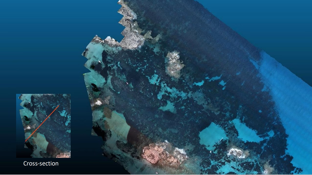
Joint Formentera Drone Mapping Campaign
Take-off with green LIDAR sensors mounted on a drone for high resolution 3D scanning of seagrass meadows at Formentera in ...
Showing: 1- of 73