Domo Arigato, Mr. RobOtto
admin | September 17th, 2021 | Stories
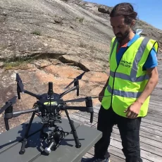
Meet “RobOtto”, SeaBee’s new surface drone
What is RobOtto?
From June 14 to 18, a SeaBee team made up of researchers from NIVA went out into the field around the Oslofjord and Stavern region. If you’ve been following SeaBee for a while, you’ll note a stark contrast from their previous drone survey earlier this year: the team was greeted by much warmer weather! Perfect for testing out some new tech. Meet our new surface drone, “RobOtto”.
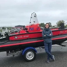
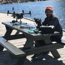
RobOtto is an ‘Otter’ surface drone from Maritime Robotics and is an important contribution SeaBee’s fleet of drones. The drone floats on the surface of a body of water and directly collects data on water quality. RobOtto’s direct approach is important when it comes to comparing and interpreting drone data recorded from the air. It allows the SeaBee Team to measure the concentration in surface waters of microalgae and phytoplankton (Chlorophyll a), the concentration of colored dissolved organic matter (CDOM) and total suspended matter (TSM).
In addition, floating on the water allows the application of acoustic sensors. RobOtto is equipped with a MX Aquatic Echosounder for characterising benthic habitat types, including separate seagrass, rockweed and kelp from soft (mud and sands) and hard bottom (rocks) substrate.

Citadelløya and Ølbergholmen
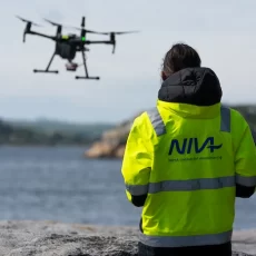
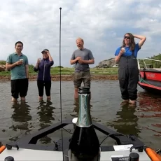
SeaBees’ survey drones were piloted in Citadelløya and southern Ølbergholmen. The DJI M210 flying drone provided RGB and multispectral images, and RobOtto carried sensors for measuring water depth, benthic habitat identification, CDOM, water turbidity, water temperature and conductivity. For the geotagging of drone images, several markers were placed out at different locations. The field survey was documented using a Mavic mini drone, a GoProcamera and the teams’ personal iPhones.
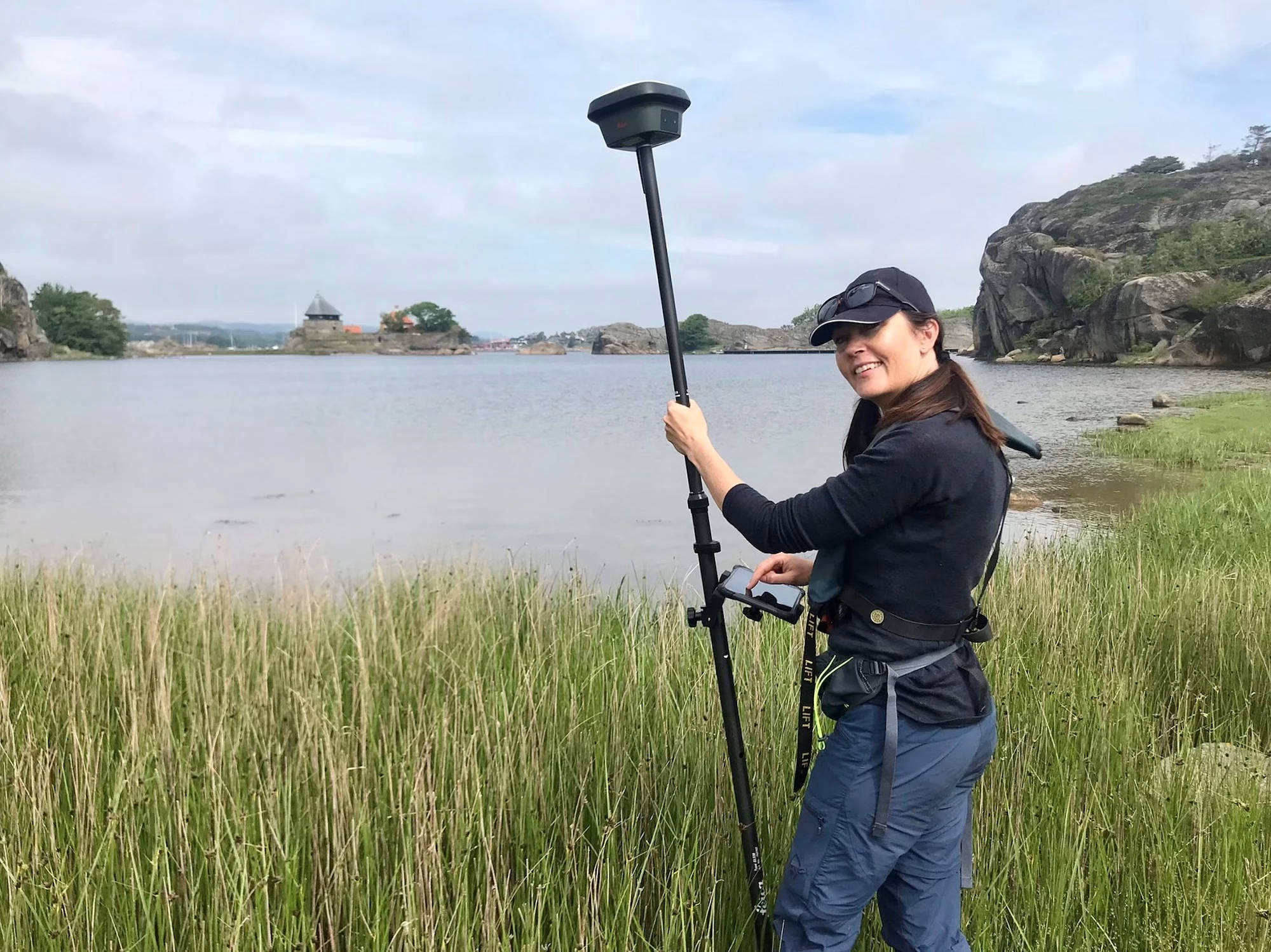
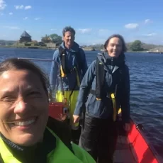
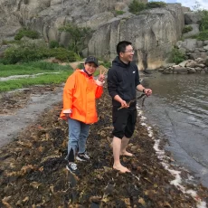
Field validation was performed on foot while wearing chest waders in shallow waters and along the shores, while in boat for water depths from two to eight meters. Along shores and in shallow waters, ground truth measurements were georeferenced using a Leica GNSS system, creating data accurate down to the scale of a centimetre.

The field validation in the seagrass meadows, seaweed, kelp beds and the sandy and muddy areas that were not reachable by foot were covered using a few different tools: a boat, underwater binoculars, an underwater camera (with the depth being recorded using a handheld sensor or the one present in the camera), and a Garmin GPS which provided approximately 2 metres of accuracy.
In addition to mapping new areas with seagrass and rockweed abundance and distribution, the team also revisited previously surveyed areas. This enables studies of marine vegetation dynamics, such as the colonisation success of or decline in seagrass meadows. Also an effort was put into mapping beach casts of seagrass and rockweed in order to better understand how beach deposits of marine vegetation impact terrestrial systems, in particular the transport of carbon from sea to land. Moreover did saltmarsh meadows interest the research team leading to some preliminary mapping efforts of these unique, yet largely understudied coastal habitats

This outing was part of a series of surveys focusing on the distribution, state, and dynamics of seagrass meadows. In addition, the team also covered seaweeds, beach deposits, and mussel beds that can be found nearby.
The Stavern fieldwork team was composed of NIVA members Kasper Hancke (Senior Research Scientist and SeaBee Project Lead), Hege Gundersen (Senior Research Scientist and SeaBee Project Co-Lead), Trine Bekkby (Senior Research Scientist and SeaBee WP5 lead), Medyan Ghareeb (Senior Engineer and SeaBee drone pilot), Øyvind Tangen Ødegaard (SeaBee’s new Otter pilot), and PhD students Yalei and Lina Li.


Previous
Next
This story is also posted on https://news.grida.no/domo-arigato-mr-robotto